National Institute of Informatics - Digital Silk Road Project
| |||||||||
|
| Serindia : vol.1 |
 |
Sec. H] PAST THE TERMINAL LAGOONS OF THE TARIM 351
geographical and archaeological observations bearing on this question which I made when first on my way to the ruins of Lou-lan are worthy of record, and these I intend to give here even if their detailed interpretation must be left for a later publication.
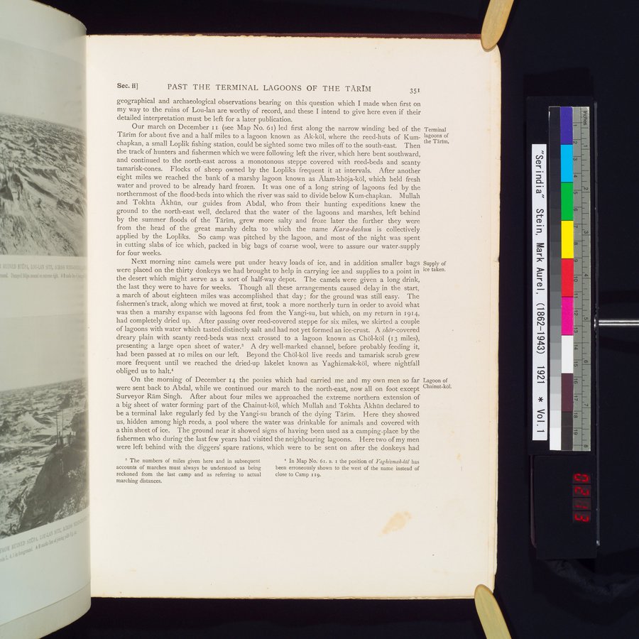
Our march on December II (see Map No. 6i) led first along the narrow winding bed of the Terminal
Tarim for about five and a half miles to a lagoon known as Ak-köl, where the reed-huts of Kum- lagoons of
chapkan, a small Loplik fishing station, could be sighted some two miles off to the south-east. Then the Tarim.
the track of hunters and fishermen which we were following left the river, which here bent southward, and continued to the north-east across a monotonous steppe covered with reed-beds and scanty tamarisk-cones. Flocks of sheep owned by the Lopliks frequent it at intervals. After another eight miles we reached the bank of a marshy lagoon known as Alam-khöja-köl, which held fresh water and proved to be already hard frozen. It was one of a long string of lagoons fed by the northernmost of the flood-beds into which the river was said to divide below Kum-chapkan. Mullah and Tokhta Akhûn, our guides from Abdal, who from their hunting expeditions knew the ground to the north-east well, declared that the water of the lagoons and marshes, left behind by the summer floods of the Tarim, grew more salty and froze later the further they were from the head of the great marshy delta to which the name Kara-koshun is collectively. applied by the Lopliks. So camp was pitched by the lagoon, and most of the night was spent in cutting slabs of ice which, packed in big bags of coarse wool, were to assure our water-supply for four weeks.
Next morning nine camels were put under heavy loads of ice, and in addition smaller bags Supply of
were placed on the thirty donkeys we had brought to help in carrying ice and supplies to a point in ice taken.
the desert which might serve as a sort of half-way depot. The camels were given a long drink, the last they were to have for weeks. Though all these arrangements caused delay in the start, a march of about eighteen miles was accomplished that day ; for the ground was still easy. The fishermen's track, along which we moved at first, took a more northerly turn in order to avoid what was then a marshy expanse with lagoons fed from the Yangi-su, but which, on my return in 1914, had completely dried up. After passing over reed-covered steppe for six miles, we skirted a couple of lagoons with water which tasted distinctly salt and had not yet formed an ice-crust. A shör-covered dreary plain with scanty reed-beds was next crossed to a lagoon known as Chöl-köl (13 miles), presenting a large open sheet of water.3 A dry well-marked channel, before probably feeding it, had been passed at io miles on our left. Beyond the Chöl-köl live reeds and tamarisk scrub grew more ' frequent until we reached the dried-up lakelet known as Yaghizmak-köl, where nightfall obliged us to halt.4
On the morning of December 14 the ponies which had carried me and my own men so far Lagoon of
were sent back to Abdal, while we continued our march to the north-east, now all on foot except Chainut-köl.
Surveyor Ram Singh. After about four miles we approached the extreme northern extension of a big sheet of water forming part of the Chainut-köl, which Mullah and Tokhta Akhûn declared to be a terminal lake regularly fed by the Yangi-su branch of the dying Tarim. Here they showed us, hidden among high reeds, a pool where the water was drinkable for animals and covered with a thin sheet of ice. The ground near it showed signs of having been used as a camping-place by the fishermen who during the last few years had visited the neighbouring lagoons. Here two of my men were left behind with the diggers' spare rations, which were to be sent on after the donkeys had
3 The numbers of miles given here and in subsequent accounts of marches must always be understood as being reckoned from the last camp and as referring to actual marching distances.
* In Map No. 61. B. r the position of Yaghizmak-köl has been erroneously shown to the west of the name instead of close to Camp 119.
|
Copyright (C) 2003-2019 National Institute of Informatics and The Toyo Bunko. All Rights Reserved.