National Institute of Informatics - Digital Silk Road Project
| |||||||||
|
| Scientific Results of a Journey in Central Asia, 1899-1902 : vol.1 |
 |
| THE BEND AT GURKUR. |
FROM THE CONFLUENCE OF THE AK-SU-DARJA TO INTSCI-IKÄ. 89
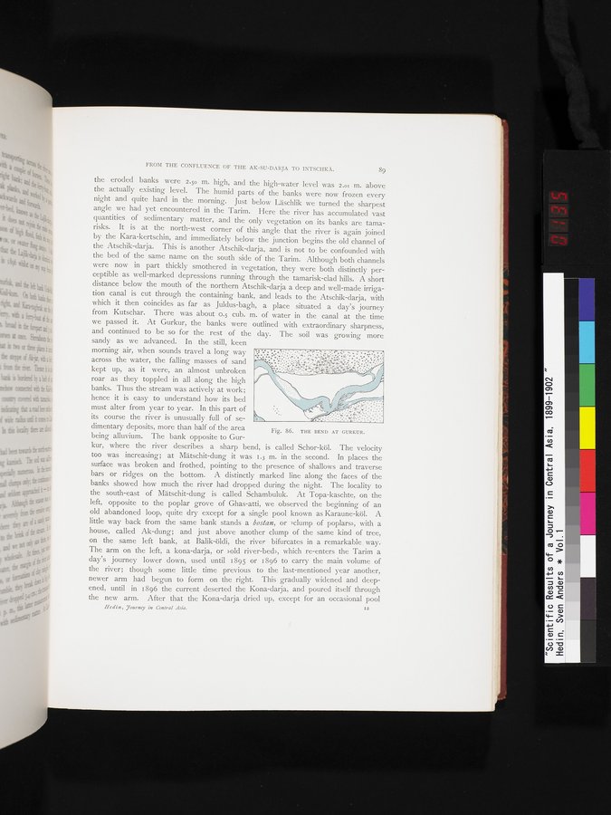
the eroded banks were 2.5o m. high, and the high-water level was 2.o1 m. above the actually existing level. The humid parts of the banks were now frozen every night and quite hard in the morning. Just below Läschlik we turned the sharpest angle we had yet encountered in the Tarim. Here the river has accumulated vast quantities of sedimentary matter, and the only vegetation on its banks are tamarisks. It is at the north-west corner of this angle that the river is again joined by the Kara-kertschin, and immediately below the junction begins the old channel of the Atschik-darja. This is another Atschik-darja, and is not to be confounded with the bed of the same name on the south side of the Tarim. Although both channels were now in part thickly smothered in vegetation, they were both distinctly perceptible as well-marked depressions running through the tamarisk-clad hills. A short distance below the mouth of the northern Atschik-darja a deep and well-made irrigation canal is cut through the containing bank, and leads to the Atschik-darja, with which it then coincides as far as Juldus-bagh, a place situated a day's journey from Kutschar. There was about o.5 cub. m. of water in the canal at the time we passed it. At Gurkur, the banks were outlined with extraordinary sharpness, and continued to be so for the rest of the day. The soil was growing more
sandy as we advanced. In the still, keen morning air, when sounds travel a long way across the water, the falling masses of sand kept up, as it were, an almost unbroken roar as they toppled in all along the high banks. Thus the stream was actively at work; hence it is easy to understand how its bed must alter from year to year. In this part of its course the river is unusually full of sedimentary deposits, more than half of the area being alluvium. The bank opposite to Gur
kur, where the river describes a sharp bend, is called Schor-köl. The velocity too was increasing; at Mätschit-dung it was 1.3 m. in the second. In places the surface was broken and frothed, pointing to the presence of shallows and traverse bars or ridges on the bottom. A distinctly marked line along the faces of the banks showed how much the river had dropped during the night. The locality to the south-east of Mätschit-dung is called Schambuluk. At Topa-kaschte, on the left, opposite to the poplar grove of Ghas-atti, we observed the beginning of an old abandoned loop, quite dry except for a single pool known as Karaune-köl. A little way back from the same bank stands a bosian, or »clump of poplars», with a house, called Ak-dung; and just above another clump of the same kind of tree, on the same left bank, at Balik-öldi, the river bifurcates in a remarkable way. The arm on the left, a kona-darja, or »old river-bed», which re-enters the Tarim a day's journey lower down, used until 1895 or 1896 to carry the main volume of the river; though some little time previous to the last-mentioned year another, newer arm had begun to form on the right. This gradually widened and deepened, until in 1896 the current deserted the Kona-darja, and poured itself through the new arm. After that the Kona-darja dried up, except for an occasional pool
Iledin, Tourney in Central Asia. I2
Fig. 86. THE BEND AT GURKUR.
|
Copyright (C) 2003-2019 National Institute of Informatics and The Toyo Bunko. All Rights Reserved.