National Institute of Informatics - Digital Silk Road Project
| |||||||||
|
| Scientific Results of a Journey in Central Asia, 1899-1902 : vol.1 |
 |
| DIFFERENT POSITIONS OF DRAG-NET AND CANOES IN FISHING. |
280 THE LAKES BESIDE THE LOWER TARIM.
sumes an unusual and peculiar shape, having some curiously irregular peninsulas and islands of silt, which appear to indicate that the watery covering is exceptionally thin. But north of these three come other peninsulas which are remarkable for their regularity of outline, being shaped like long, narrow piers. Two of these incline towards each other like the carbons in an arc-light, while a third is broken off short. They stretch from south-west to north-east, and consequently are not quite parallel with the major axis of the lake. There can be no doubt that they are part of the original substratum, being ridges, abraded by the wind, of the same kind as the jardangs, which are so characteristic of the Lop Desert. And with these latter they do exhibit a parallelism in direction.
With regard to the vegetation beside the Ullugh-köl, I may add, that poplars occur on both shores in small clumps, and are relatively numerous in the sheltered bay of Kaghune-kakmasi. 7dkän or »sedge» is scarce, growing on two or three promontories only. On the other hand reeds are very plentiful; they occur on the dry strip of shore at the level of the existing water. But whereas they are scanty along the east shore, and for long distances absent altogether, on the opposite side of the lake they are so dense that in many places they form thickets which are absolutely impenetrable; and the same remark applies to the west shore of the
eastern bay. But these belts of reeds are
very narrow. At the last high-flood season
Q all these reeds stood in the water, for, as
0 0 0 Qppoo was quite evident from the marks on their
o p 0 0 stalks, the lake was then 1.345 m. higher
e 0 0 than at the time of our visit; and of course
Fig. 251. DIFFERENT POSITIONS OF DRAG-NET the lake's area was at the same season AND CANOES IN FISHING.
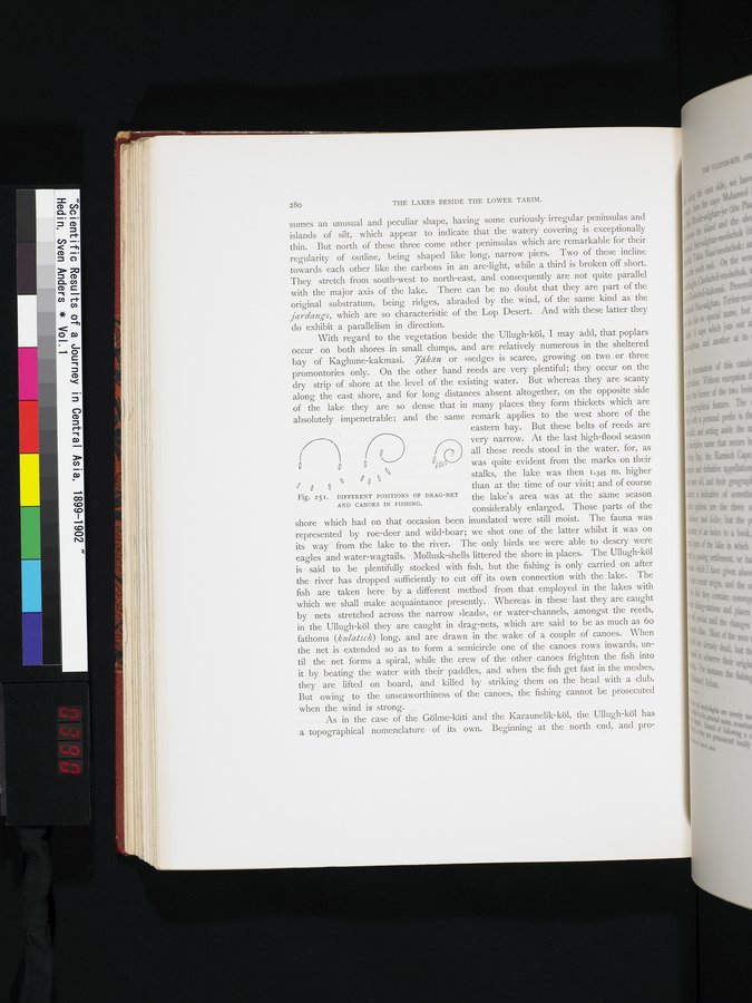
considerably enlarged. Those parts of the shore which had on that occasion been inundated were still moist. The fauna was represented by roe-deer and wild-boar; we shot one of the latter whilst it was on its way from the lake to the river. The only birds we were able to descry were eagles and water-wagtails. Mollusk-shells littered the shore in places. The Ullugh-köl is said to be plentifully stocked with fish, but the fishing is only carried on after the river has dropped sufficiently to cut off its own connection with the lake. The fish are taken here by a different method from that employed in the lakes with which we shall make acquaintance presently. Whereas in these last they are caught by nets stretched across the narrow »leads», or water-channels, amongst the reeds, in the Ullugh-köl they are caught in drag-nets, which are said to be as much as 6o fathoms (kulaisch) long, and are drawn in the wake of a couple of canoes. When the net is extended so as to form a semicircle one of the canoes rows inwards, until the net forms a spiral, while the crew of the other canoes frighten the fish into it by beating the water with their paddles, and when the fish get fast in the meshes, they are lifted on board, and killed by striking them on the head with a club. But owing to the unseaworthiness of the canoes, the fishing cannot be prosecuted when the wind is strong.
As in the case of the Gölme-käti and the Karaunelik-köl, the Ullugh-köl has a topographical nomenclature of its own. Beginning at the north end, and pro-
|
Copyright (C) 2003-2019 National Institute of Informatics and The Toyo Bunko. All Rights Reserved.