National Institute of Informatics - Digital Silk Road Project
| |||||||||
|
| Southern Tibet : vol.3 |
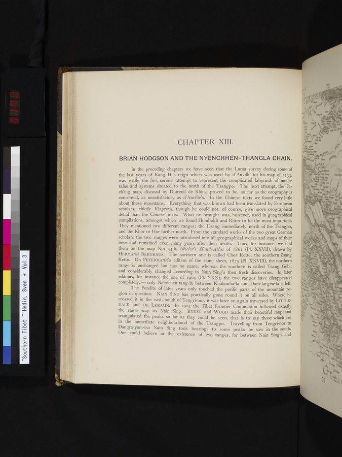 |
CHAPTER XIII.
BRIAN HODGSON AND THE NYENCH H EN -THANGLA CHAIN.
In the preceding chapters we have seen that the Lama survey during some of the last years of Kang Hi's reign which was used by d'Anville for his map of 1733, was really the first serious attempt to represent the complicated labyrinth of mountains and systems situated to the north of the Tsangpo. The next attempt, the Tach'ing map, discussd by Dutreuil de Rhins, proved to be, so far as the orography is concerned, as unsatisfactory as d'Anville's. In the Chinese texts we found very little about these mountains. Everything that was known had been translated by European scholars, chiefly Klaproth, though he could not, of course, give more orographical detail than the Chinese texts. What he brought was, however, used in geographical compilations, amongst which we found Humboldt and Ritter to be the most important. They mentioned two different ranges: the Dzang immediately north of the Tsangpo, and the Khor or Hor further north. From the standard works of the two great German scholars the two ranges were introduced into all geographical works and maps of their time and remained even many years after their death. Thus, for instance, we find them on the map N:o 44 b, Stieler's Hand Atlas of 1861 (Pl. XXVII), drawn by HERMANN BERGHAUS. The northern one is called Chor Kette, the southern Zsang Kette. On PETERMANN's edition of the same sheet, 1875 (Pl. XXVIII), the northern range is unchanged but has no name, whereas the southern is called Tsang Geb., and considerably changed according to Nain Sing's then fresh discoveries. In later editions, for instance the one of 1904 (Pl. XXX), the two ranges have disappeared completely, — only Nien-chen-tang-la between Khalamba-la and Dam-largen-la is left.
The Pundits of later years only touched the perific parts of the mountain region in question. NAIN SING has practically gone round it on all sides. Where he crossed it in the east, south of Tengri-nor, it was later on again traversed by LITTLEI)ALE and DE LESDAIN. In 1904 the Tibet Frontier Commission followed exactly the same way as Nain Sing. RYDER and WOOD made their beautiful map and triangulated the peaks so far as they could be seen, that is to say those which are in the immediate neighbourhood of the Tsangpo. Travelling from Tengri-nor to Dangra-yum-tso Nain Sing took bearings to some peaks he saw in the south. One could believe in the existence of two ranges, for between Nain Sing's and
LI
,
~
|
Copyright (C) 2003-2019 National Institute of Informatics and The Toyo Bunko. All Rights Reserved.