National Institute of Informatics - Digital Silk Road Project
| |||||||||
|
| Southern Tibet : vol.3 |
 |
Reg. No. 1074-S 06
Tsaidam
Swamps
ahmaP
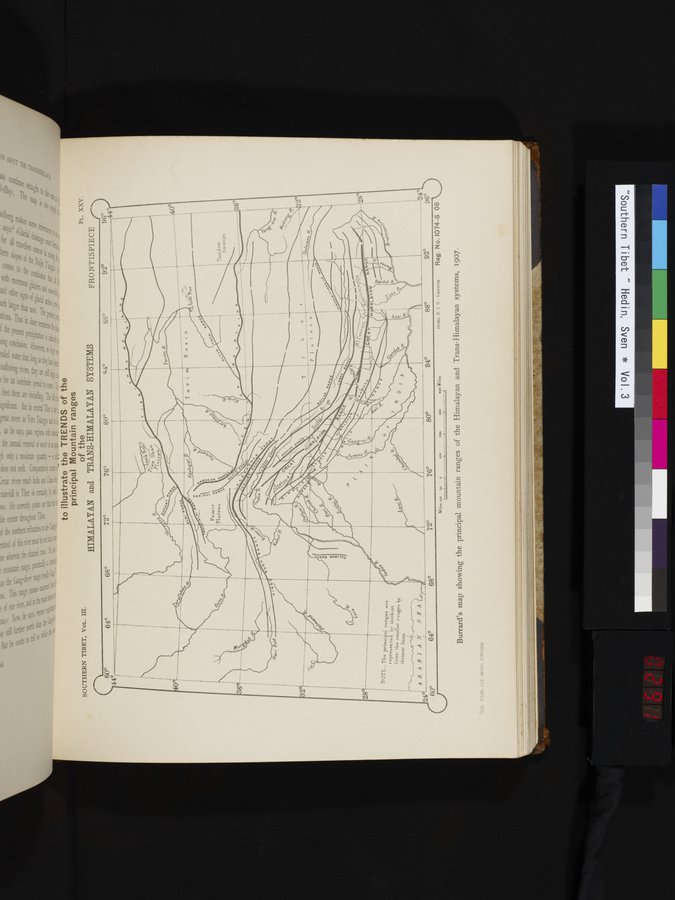
to illustrate the TRENDS of the
principal Mountain ranges
of the
HIMALAYAN and TRANS-HIMALAYAN SYSTEMS
_`
FRONTISPIECE
SOUTHERN TIBET, VOL. III.
PL. XXV.
600
44°(—.--
72° 76° 80°
T
i —
g4° 880 92° 9644°
64°
68°
28
$.
NOTE._ The principal ranges are represented by thickest lines: the smaller ranges by thinner lines.
Lim;
e
96°
?iclio. S. T. O . Calcutta
AJIABIAN SEA
24
60° 64° 68° 7 2° 76° 80°
84°
24
Miles loo so 0
Imo 1 rfrri —
Burrard's map showing the principal mountain ranges of the Himalayan and Trans-Himalayan systems, 1907.
GEN. STAB. LIT. ANST. STOCZIT-L
'100 Zoo 300 400 Miles
f t ± -j
|
Copyright (C) 2003-2019 National Institute of Informatics and The Toyo Bunko. All Rights Reserved.