国立情報学研究所 - ディジタル・シルクロード・プロジェクト
| |||||||||
|
| The Pulse of Asia : vol.1 | |
| アジアの鼓動 : vol.1 |
 |
284 THE PULSE OF ASIA
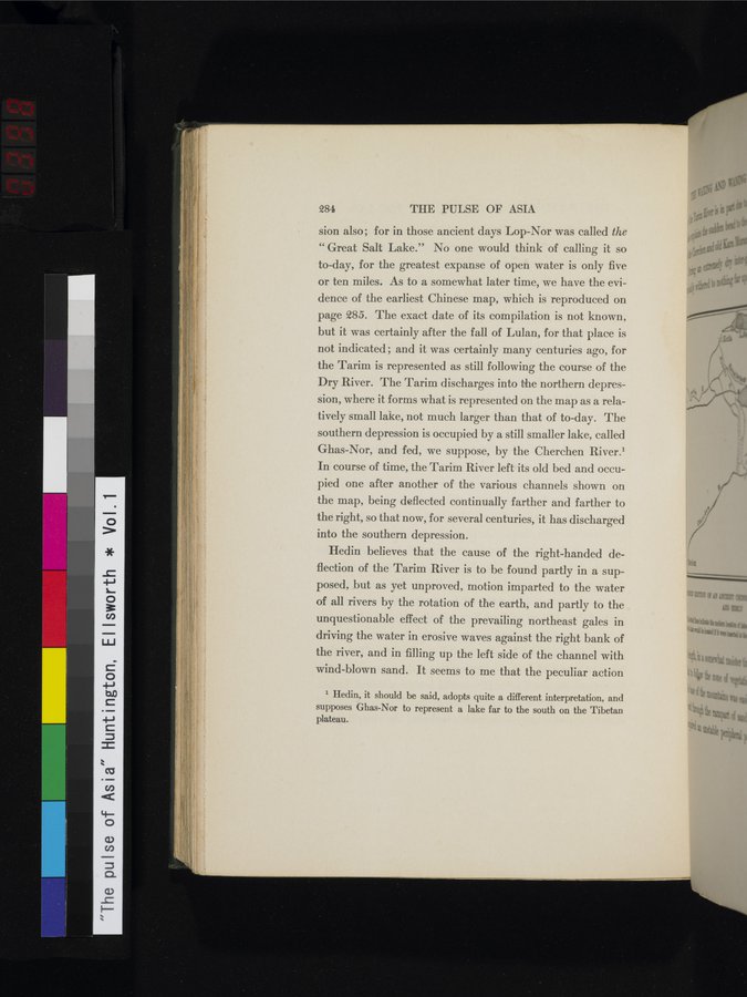
sion also; for in those ancient days Lop-Nor was called the " Great Salt Lake." No one would think of calling it so to-day, for the greatest expanse of open water is only five or ten miles. As to a somewhat later time, we have the evidence of the earliest Chinese map, which is reproduced on page 285. The exact date of its compilation is not known, but it was certainly after the fall of Lulan, for that place is not indicated ; and it was certainly many centuries ago, for the Tarim is represented as still following the course of the Dry River. The Tarim discharges into the northern depression, where it forms what is represented on the map as a relatively small lake, not much larger than that of to-day. The southern depression is occupied by a still smaller lake, called Ghas-Nor, and fed, we suppose, by the Cherchen River.' In course of time, the Tarim River left its old bed and occupied one after another of the various channels shown on the map, being deflected continually farther and farther to the right, so that now, for several centuries, it has discharged into the southern depression.
Hedin believes that the cause of the right-handed deflection of the Tarim River is to be found partly in a supposed, but as yet unproved, motion imparted to the water of all rivers by the rotation of the earth, and partly to the unquestionable effect of the prevailing northeast gales in driving the water in erosive waves against the right bank of the river, and in filling up the left side of the channel with wind-blown sand. It seems to me that the peculiar action
1 Hedin, it should be said, adopts quite a different interpretation, and supposes Ghas-Nor to represent a lake far to the south on the Tibetan plateau.
1
1
;
|
Copyright (C) 2003-2019
National Institute of Informatics(国立情報学研究所)
and
The Toyo Bunko(東洋文庫). All Rights Reserved.
本ウェブサイトに掲載するデジタル文化資源の無断転載は固くお断りいたします。