National Institute of Informatics - Digital Silk Road Project
| |||||||||
|
| The Pulse of Asia : vol.1 |
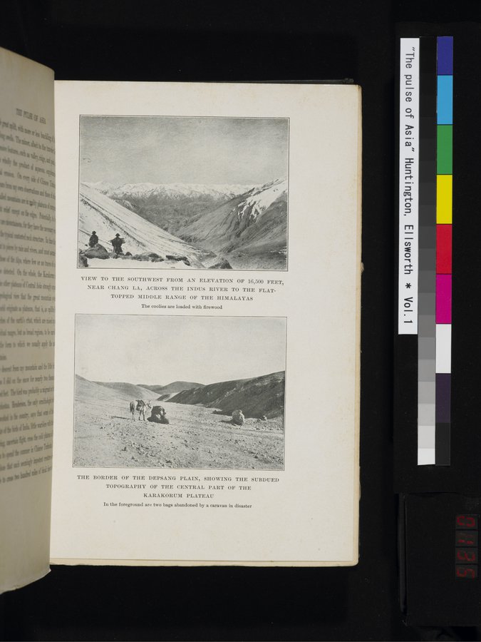 |
VIEW TO THE SOUTHWEST FROM AN ELEVATION OF 16,500 FEET,
NEAR CHANG LAS ACROSS THE INDUS RIVER TO THE FLAT-
TOPPED MIDDLE RANGE OF THE HIMALAYAS
The coolies are loaded with firewood
THE BORDER OF THE DEPSANG PLAIN, SHOWING THE SUBDUED
TOPOGRAPHY OF THE CENTRAL PART OF THE
KARAKORUM PLATEAU
In the foreground are two bags abandoned by a caravan in disaster
|
Copyright (C) 2003-2019 National Institute of Informatics and The Toyo Bunko. All Rights Reserved.