National Institute of Informatics - Digital Silk Road Project
| |||||||||
|
| In Tibet and Chinese Turkestan : vol.1 |
 |
POLU. 159
.
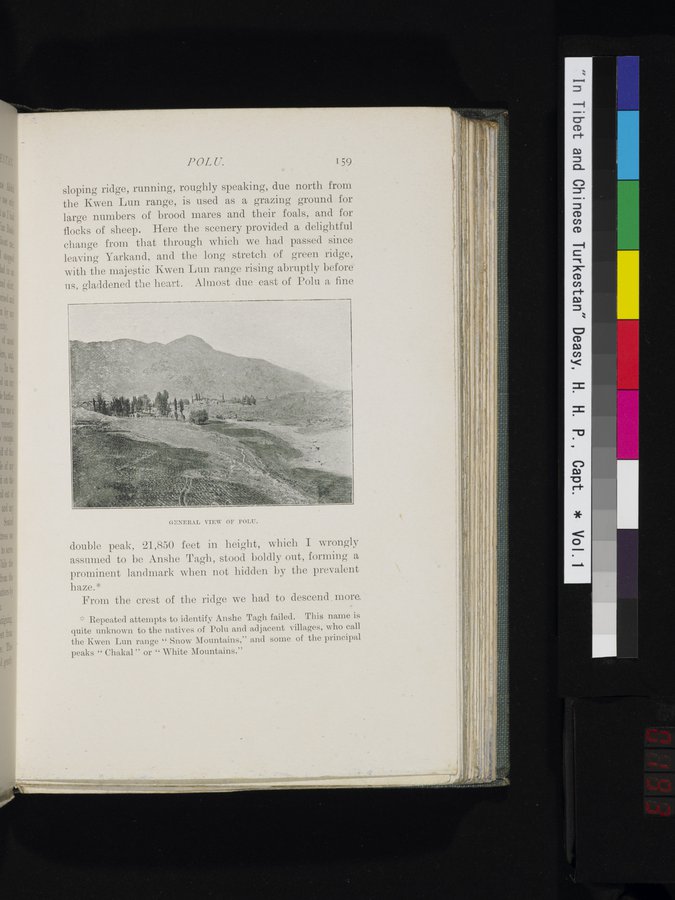
sloping ridge, running, roughly speaking, due north from the Kwen Lun range, is used as a grazing ground for large numbers of brood mares and their foals, and for flocks of sheep. Here the scenery provided a delightful change from that through which we had passed since leaving Yarkand, and the long stretch of green ridge, with the majestic Kwen Lun range rising abruptly before us, gladdened the heart. Almost due east of Poln a fine
~
c,:aRRAL PIRW OF POLU.
double peak, 21,850 feet in height, which I wrongly assumed to be Anshe Tagh, stood boldly out, forming a prominent landmark when not hidden by the prevalent
haze.*
From the crest of the ridge we had to descend. more,
Repeated attempts to identify Anshe Tagh failed. This name is quite unknown to the natives of Polu and adjacent villages, who call the Kwen Lun range " Snow Mountains," and some of the principal
peaks " Chakal " or " White Mountains."
|
Copyright (C) 2003-2019 National Institute of Informatics and The Toyo Bunko. All Rights Reserved.