National Institute of Informatics - Digital Silk Road Project
| |||||||||
|
| In Tibet and Chinese Turkestan : vol.1 |
 |
YEPAL UNGUR. 177
tary of the Kiria River system, a mere brook, quite shallow and less than ten feet broad. In crossing this stretch of country we had had to contend with heavy rain and sleet, but now, at Yepal Ungur, we found a camping-ground where some little shelter (ungur) was afforded by a slightly overhanging cliff.
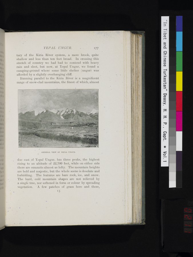
Running parallel to the Kiria River is a magnificent range of snow-clad mountains, the finest of which, almost
•
GEvUßAL VIEW OF YEPAL UNGUR.
due east of Yepal Ungur, has three peaks, the highest rising to an altitude of 22,700 feet, while on either side there are summits almost as lofty. The mountain heights are bold and majestic, but the whole scene is desolate and forbidding. The features are bare rock, ice, and snow. The hard, cold mountain shapes are not relieved by a single tree, nor softened in form or colour by spreading vegetation. A few patches of grass here and there,
13
|
Copyright (C) 2003-2019 National Institute of Informatics and The Toyo Bunko. All Rights Reserved.