National Institute of Informatics - Digital Silk Road Project
Digital Archive of Toyo Bunko Rare Books
|
|
Color Thumbnail -
Table of Contents -
Page Number -
Biliographic Information (Metadata) -
Caption -
Color Image -
Gray HighRes. Image -
Facing Pages -
Graphics -
| 0259 |
Memoir on Maps of Chinese Turkistan and Kansu : vol.1 |
Captions
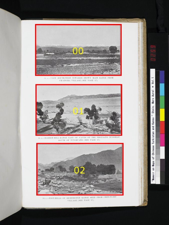
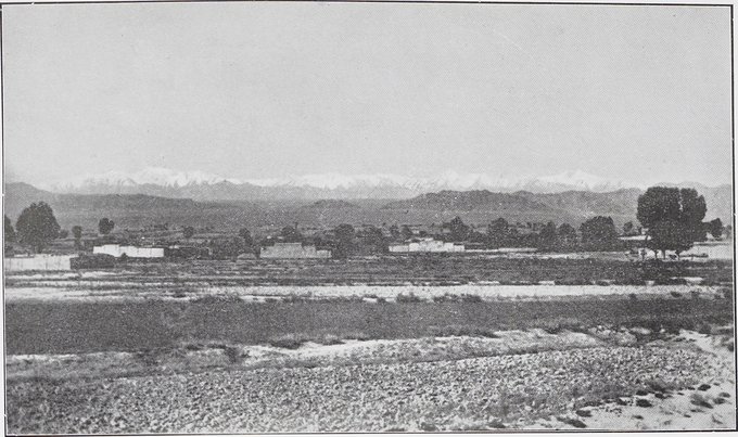
| [Photo] 14. A. |
VIEW SOUTH-WEST TOWARDS SNOWY MAIN RANGE FROM CH‘ANGMA VILLAGE (SEE PAGE 17). |
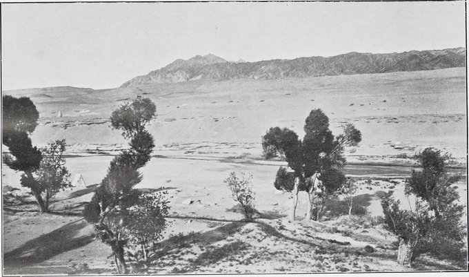
| [Photo] 14. B. |
BARREN HILL RANGE EAST OF ‘CAVES OF THE THOUSAND BUDDHAS’, SOUTH OF TUN-HUANG (SEE PAGE 17). |
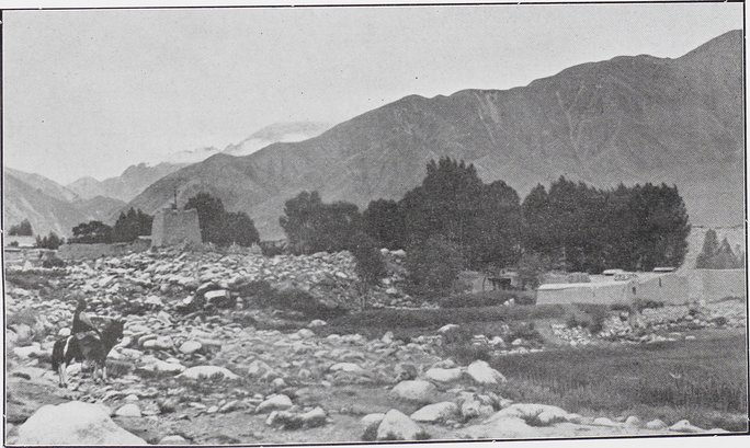
| [Photo] 14. C. |
FOOT-HILLS OF RICHTHOFEN RANGE SEEN FROM CHIN-FO-SSU VIILLAGE (SEE PAGE 17). |
 Citation Information
1
.
.
.
.
|
.
.
.
.
243
.
.
.
.
|
255
257
259
261
263
.
.
.
.
|
.
.
.
.
283
.
.
.
291
Copyright (C) 2003-2019
National Institute of Informatics
and
The Toyo Bunko. All Rights Reserved.