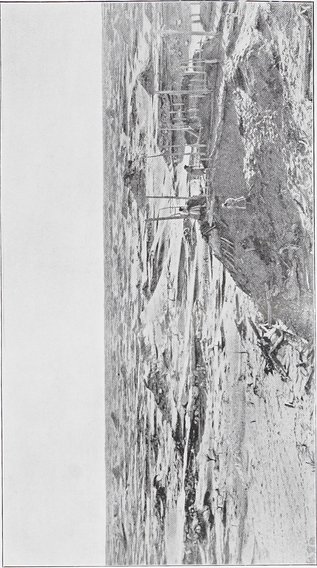
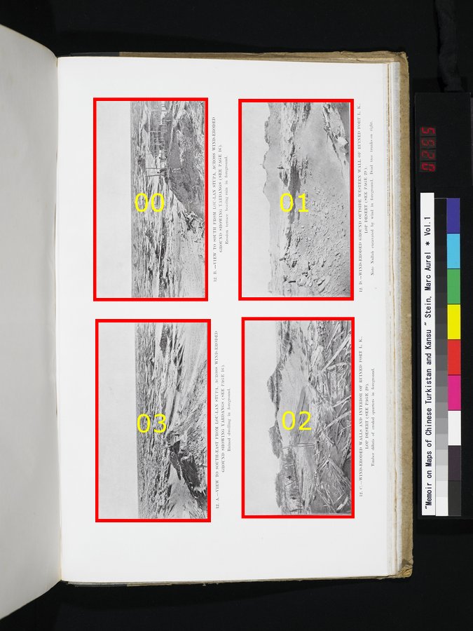
| [Photo] 12. A. |
VIEW TO SOUTH-EAST FROM LOU-LAN STUPA, ACROSS WIND-ERODED GROUND SHOWING YARDANGS (SEE PAGE I6). Ruined dwelling in foreground. |
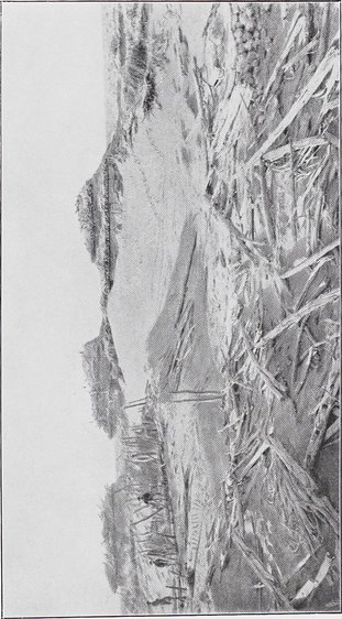
| [Photo] 12. B. |
VIEW TO SOUTH FROM LOU-LAN STUPA, ACROSS WIND-ERODED GROUND SHOWING YARDANGS (SEE PAGE 16). Erosion terrace bearing ruin in foreground. |
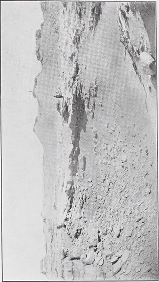
| [Photo] 12. C. |
WIND-ERODED WALLS AND INTERIOR OF RUINED FORT L. K., LOP DESERT (SEE PAGE 29). Timber débris of eroded quarters in foreground. |
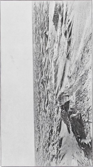
| [Photo] 12. D. |
WIND-ERODED GROUND OUTSIDE WESTERN WALL OF RUINED FORT L. K., LOP DESERT (SEE PAGE 29). Note Nullah excavated by wind in foreground. Dead tree trunks on right. |