 IIIF Color HighRes
National Institute of Informatics - Digital Silk Road Project
| |||||||||
|
| IIIF Color HighRes |
| Southern Tibet : vol.7 |
 |
 |
 |
 |
 |
 |
|
|
 |
|
|
|
|
|
|
|
|
Citation Information
THE CENTRAL KWEN-LUN.
r,
397
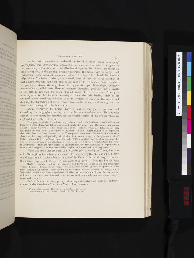
In the first communication delivered by Dr. M. A. STEIN on A 7our12ey of geographical and archeological exploration in Chinese Turkestan,' he gave us the interesting information of a considerable change in the physical conditions on the Mus-tagh-ata, a change that probably embraced the whole Kashgar Range, and perhaps still more extended mountain regions. In 1894 I had found the northern ridge of the Yambulak glacier passage nearly bare of snow up to an elevation of over 2 0,000 feet, and had been able to use yaks up to the highest point I reached. In 1900 Stein »found the ridge from circ. 15,500 feet upwards enveloped by heavy masses of snow, which seem likely to transform themselves gradually into a mantle of ice, such as lies over the other elevated slopes of the mountain». Already at about 17,000 feet he found it necessary to leave the yaks behind. Here is the principal factor exercising influence upon the volume of water in the rivers, and dictating the fluctuations of the niveau of lakes in the vicinity, such as e. g-. we have found when dealing with the Manasarovar.
Stein's journey in the Central Kwen-lun was of very great importance, and cleared up the orographical arrangement in the most excellent way. He was wise enough to concentrate his attention on one special portion of the system which he
explored thoroughly. He says:
That portion of the Kuen-luen range which contains the headquarters of the Yurungkash or Khotan River had hitherto remained practically unsurveyed, the scanty information available being restricted to the sketch map of the route by which Mr. Johnson, in 1865, had made his way from Ladak down to Khotan. Colonel Trotter had, in 1875, expressed the belief that the head waters of the Yurung-kash were much further to the east than shown on that map, and probably identical with a stream rising on the plateau south of Polu. Captain Deasy, working from the side of Polu in 1898, succeeded in reaching the sources of this stream at an elevation of over i 6,000 feet, but was prevented from following it downwards. Thus the true course of the main feeder of the Yurung-kash, together with most of the orography of the surrounding region, still remained to be explored.2
When one hears that the peak of 2 3,690 feet (K 5) at the Upper Yurung-kash was called Muz-tagh by the natives, one cannot help remembering that the Mustack of RENAT was situated at the southern border ranges of the Tarim Basin on his map, and not at
the western (Cp. Vol. I, Pi. L). Of this peak Stein says — from the Brinjak Pass:
Murtagh showed itself in full majesty, and beyond it to the south-east there now appeared several distant snowy ridges previously invisible that guard the approach to the main Yurung-kash source. How should we have fared between them if the passage above Issik-bulak could have been negotiated? Further to the south the line of the horizon for a distance of close on one hundred miles was crowned by an unbroken succession of snowy peaks and glaciers.
And further on he says, p. 237: »Far beyond Murtagh we could see glittering
ranges in the direction of the main Yurung-kash source.»
I Geographical Journal. Dec. 1902. Vol. XX, p. 579 et seq. 2 Sand-buried Ruins of Khotan. London M.CM.III, p. 202.
|
|
|
|
|
|
|
|
|
Copyright (C) 2003-2019 National Institute of Informatics and The Toyo Bunko. All Rights Reserved.