国立情報学研究所 - ディジタル・シルクロード・プロジェクト
| |||||||||
|
| The Book of Ser Marco Polo : vol.2 | |
| マルコ=ポーロ卿の記録 : vol.2 |
 |
|
| ||||
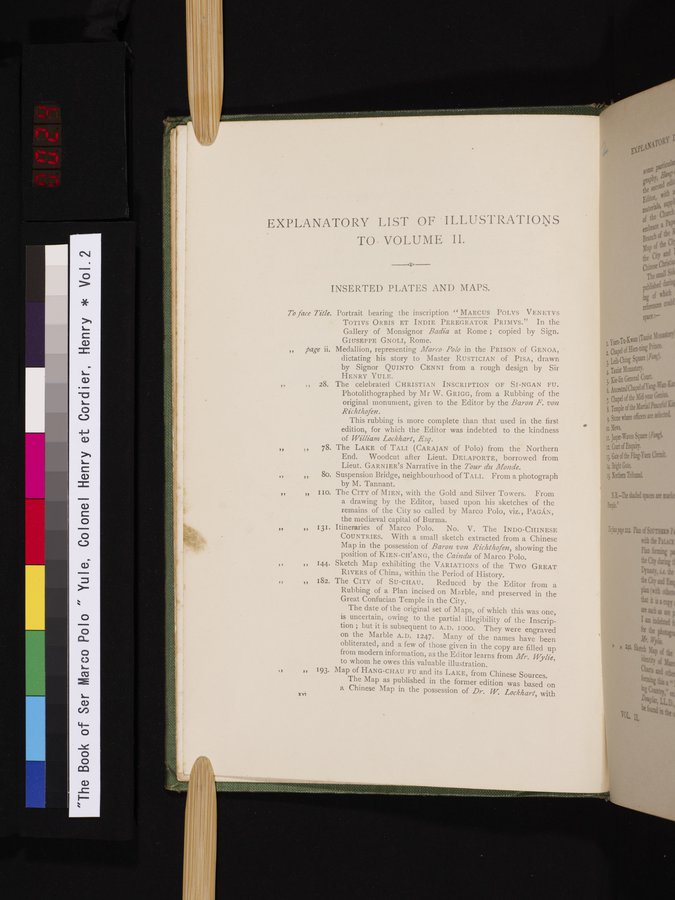
| EXPLANATORY LIST OF ILLUSTRATIONS TO. VOLUME II. INSERTED PLATES AND MAPS. To face Title. Portrait bearing the inscription " MARCUS POLVS VENI:TVs TOTIVS ORBIS ET INDIE PEREGRATOR PRIMVS." In the Gallery of Monsignor Badia at Rome ; copied by Sign. GIUSEPPE GNOLI, Rome. „ page ii. Medallion, representing Marco Polo in the PRISON of GENOA, dictating his story to Master RUSTICIAN of PISA, drawn by Signor QUINTO CENNI from a rough design by Sir HENRY YULE. „ „ 28. The celebrated CHRISTIAN INSCRIPTION OF SI-NGAN FU. Photolithographed by Mr W. GRIGG, from a Rubbing of the original monument, given to the Editor by the Baron F. von Richthofen. This rubbing is more complete than that used in the first edition, for which the Editor was indebted to the kindness of William Lockhart, Esq. „ It 78. The LAKE of TALI (CARAJAN of Polo) from the Northern „ „ 80. Suspension Bridge, neighbourhood of TALI. From a photograph „ „ IIO. The CITY of MIEN, with the Gold and Silver Towers. From „ OE/131. Itineraries of Marco Polo. No. V. The INDO-CHINESE 11 144. Sketch Map exhibiting the VARIATIONS of the Two GREAT RIVERS of China, within the Period of History. el182. The CITY of SU-CHAU. Reduced by the Editor from a The date of the original set of Maps, of which this was one, is uncertain, owing to the partial illegibility of the Inscription ; but it is subsequent to A.D. I 000. They were engraved on the Marble A.D. 1247. Many of the names have been obliterated, and a few of those given in the copy are filled up from modern information, as the Editor learns from Mr. Wylie, to whom he owes this valuable illustration. ,, 193. Map of HANG-CHAU FU and its LAKE, from Chinese Sources. a Chinese Map in the possession of Dr. W. Lockhart, with :vi | ||||
| • |
|
Copyright (C) 2003-2019
National Institute of Informatics(国立情報学研究所)
and
The Toyo Bunko(東洋文庫). All Rights Reserved.
本ウェブサイトに掲載するデジタル文化資源の無断転載は固くお断りいたします。