国立情報学研究所 - ディジタル・シルクロード・プロジェクト
| |||||||||
|
| Innermost Asia : vol.1 | |
| 極奥アジア : vol.1 |
 |
48
FROM YASÏN TO KASHGAR [Chap. II
Choice of route through Hunza.
Help of Captain H. F. D. Stirling.
Route by Karambar headwaters.
Karambar valley difficult.
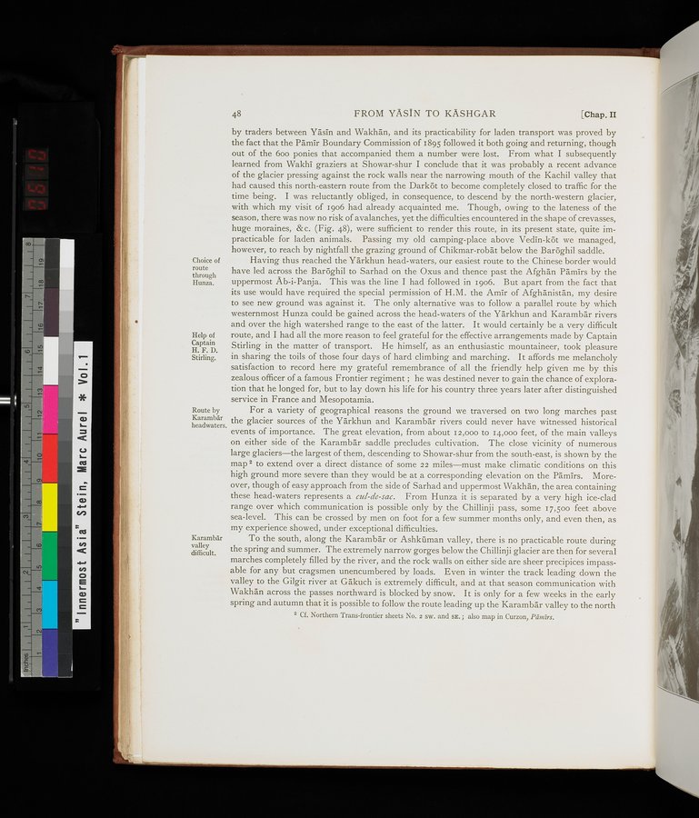
by traders between Yasin and Wakhan, and its practicability for laden transport was proved by the fact that the Pamir Boundary Commission of 1895 followed it both going and returning, though out of the 600 ponies that accompanied them a number were lost. From what I subsequently learned from Wakhi graziers at Showar-shur I conclude that it was probably a recent advance of the glacier pressing against the rock walls near the narrowing mouth of the Kachil valley that had caused this north-eastern route from the Darkôt to become completely closed to traffic for the time being. I was reluctantly obliged, in consequence, to descend by the north-western glacier, with which my visit of 1906 had already acquainted me. Though, owing to the lateness of the season, there was now no risk of avalanches, yet the difficulties encountered in the shape of crevasses, huge moraines, &c. (Fig. 48), were sufficient to render this route, in its present state, quite impracticable for laden animals. Passing my old camping-place above Vedin-k& we managed, however, to reach by nightfall the grazing ground of Chikmar-robat below the Barôghil saddle.
Having thus reached the Yarkhun head-waters, our easiest route to the Chinese border would have led across the Barôghil to Sarhad on the Oxus and thence past the Afghan Pamirs by the uppermost Ab-i-Panja. This was the line I had followed in 1906. But apart from the fact that its use would have required the special permission of H.M. the Amir of Afghanistan, my desire to see new ground was against it. The only alternative was to follow a parallel route by which westernmost Hunza could be gained across the head-waters of the Yarkhun and Karambar rivers and over the high watershed range to the east of the latter. It would certainly be a very difficult route, and I had all the more reason to feel grateful for the effective arrangements made by Captain Stirling in the matter of transport. He himself, as an enthusiastic mountaineer, took pleasure in sharing the toils of those four days of hard climbing and marching. It affords me melancholy satisfaction to record here my grateful remembrance of all the friendly help given me by this zealous officer of a famous Frontier regiment ; he was destined never to gain the chance of exploration that he longed for, but to lay down his life for his country three years later after distinguished service in France and Mesopotamia.
For a variety of geographical reasons the ground we traversed on two long marches past the glacier sources of the Yarkhun and Karambar rivers could never have witnessed historical events of importance. The great elevation, from about 12,000 to 14,000 feet, of the main valleys on either side of the Karambar saddle precludes cultivation. The close vicinity of numerous large glaciers—the largest of them, descending to Showar-shur from the south-east, is shown by the map 2 to extend over a direct distance of some 22 miles—must make climatic conditions on this high ground more severe than they would be at a corresponding elevation on the Pamirs. Moreover, though of easy approach from the side of Sarhad and uppermost Wakhan, the area containing these head-waters represents a cul-de-sac. From Hunza it is separated by a very high ice-clad range over which communication is possible only by the Chillinji pass, some 17,500 feet above sea-level. This can be crossed by men on foot for a few summer months only, and even then, as my experience showed, under exceptional difficulties.
To the south, along the Karambar or Ashkiiman valley, there is no practicable route during the spring and summer. The extremely narrow gorges below the Chillinji glacier are then for several marches completely filled by the river, and the rock walls on either side are sheer precipices impassable for any but cragsmen unencumbered by loads. Even in winter the track leading down the valley to the Gilgit river at Gakuch is extremely difficult, and at that season communication with Wakhan across the passes northward is blocked by snow. It is only for a few weeks in the early spring and autumn that it is possible to follow the route leading up the Karambâr valley to the north
2 Cf. Northern Trans-frontier sheets No. 2 sw. and sE. ; also map in Curzon, Pamirs.
|
Copyright (C) 2003-2019
National Institute of Informatics(国立情報学研究所)
and
The Toyo Bunko(東洋文庫). All Rights Reserved.
本ウェブサイトに掲載するデジタル文化資源の無断転載は固くお断りいたします。