国立情報学研究所 - ディジタル・シルクロード・プロジェクト
| |||||||||
|
| Innermost Asia : vol.1 | |
| 極奥アジア : vol.1 |
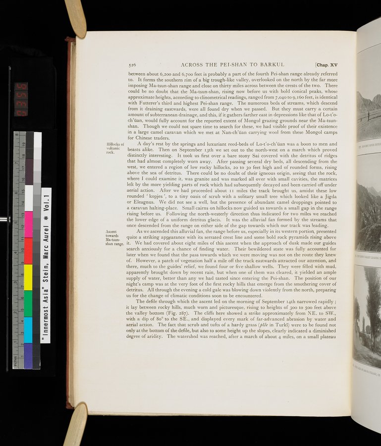 |
IIillocks of volcanic rock.
Ascent towards Ma-tsunshan range.
526 ACROSS THE PEI-SHAN TO BARKUL [Chap. XV
between about 6,200 and 6,70o feet is probably a part of the fourth Pei-shan range already referred to. It forms the southern rim of a big trough-like valley, overlooked on the north by the far more
imposing Ma-tsun-shan range and close on thirty miles across between the crests of the two. There
could be no doubt that the Ma-tsun-shan, rising now before us with bold conical peaks, whose approximate heights, according to clinometrical readings, ranged from 7,040 to 9,16o feet, is identical
with Futterer's third and highest Pei-shan range. The numerous beds of streams, which descend
from it draining eastwards, were all found dry when we passed. But they must carry a certain amount of subterranean drainage, and this, if it gathers farther east in depressions like that of Lo-t`o-
ch`üan, would fully account for the reported extent of Mongol grazing grounds near the Ma-tsunshan. Though we could not spare time to search for these, we had visible proof of their existence in a large camel caravan which we met at Nan-ch`üan carrying wool from these Mongol camps for Chinese traders.
A day's rest by the springs and luxuriant reed-beds of Lo-Co-ch`üan was a boon to men and beasts alike. Then on September 13th we set out to the north-west on a march which proved distinctly interesting. It took us first over a bare stony Sai covered with the detritus of ridges that had almost completely worn away. After passing several dry beds, all descending from the west, we entered a region of low rocky hillocks, 20 to 3o feet high and of rounded forms, rising above the sea of detritus. There could be no doubt of their igneous origin, seeing that the rock, where I could examine it, was granite and was marked all over with small cavities, the matrices left by the more yielding parts of rock which had subsequently decayed and been carried off under aerial action. After we had proceeded about I1 miles the track brought us, amidst these low rounded ` kopjes ', to a tiny oasis of scrub with a solitary small tree which looked like a Jigda or Eleagnus. We did not see a well, but the presence of abundant camel droppings pointed to a caravan halting-place. Small cairns on hillocks now guided us towards a small gap in the range rising before us. Following the north-westerly direction thus indicated for two miles we reached the lower edge of a uniform detritus glacis. It was the alluvial fan formed by the streams that once descended from the range on either side of the gap towards which our track was leading.
As we ascended this alluvial fan, the range before us, especially in its western portion. presented quite a striking appearance with its serrated crest line and some bold rock pyramids rising above it. We had covered about eight miles of this ascent when the approach of dusk made our guides search anxiously for a chance of finding water. Their bewildered state was fully accounted for later when we found that the pass towards which we were moving was not on the route they knew of. However, a patch of vegetation half a mile off the track eastwards attracted our attention, and there, much to the guides' relief, we found four or five shallow wells. They were filled with mud, apparently brought down by recent rain, but when one of them was cleared, it yielded an ample supply of water, better than any we had tasted since entering the Pei-shan. The position of our night's camp was at the very foot of the first rocky hills that emerge from the smothering cover of detritus. All through the evening a cold gale was blowing down violently from the north, preparing us for the change of climatic conditions soon to be encountered.
The defile through which the ascent led on the morning of September 14th narrowed rapidly ; it lay between rocky hills, much worn and picturesque, rising to heights of 300 to 500 feet above the valley bottom (Fig. 287). The cliffs here showed a strike approximately from NE. to SW., with a dip of 80° to the SE., and displayed every mark of far-advanced abrasion by water and aerial action. The fact that scrub and tufts of a hardy grass (pile in Turki) were to be found not only at the bottom of the defile, but also to some height up the slopes, clearly indicated a diminished degree of aridity. The watershed was reached, after a march of about 4 miles, on a small plateau
|
Copyright (C) 2003-2019
National Institute of Informatics(国立情報学研究所)
and
The Toyo Bunko(東洋文庫). All Rights Reserved.
本ウェブサイトに掲載するデジタル文化資源の無断転載は固くお断りいたします。