国立情報学研究所 - ディジタル・シルクロード・プロジェクト
| |||||||||
|
| Explorations in Turkestan 1903 : vol.1 | |
| トルキスタンの調査 1903年 : vol.1 |
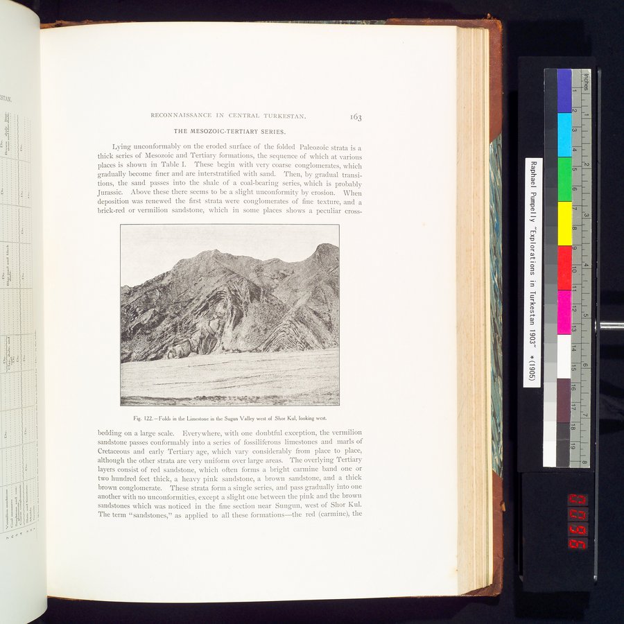 |
| Shor Kul西部のSugun渓谷にある石灰岩のひだ 西向きFolds in the Limestone in the Sugun Valley west of Shor Kul, looking west. |
| RECONNAISSANCE IN CENTRAL TURKESTAN. | 163 |
THE MESOZOIC-TERTIARY SERIES.
Lying unconformably on the eroded surface of the folded Paleozoic strata is a thick series of Mesozoic and Tertiary formations, the sequence of which at various places is shown in Table I. These begin with very coarse conglomerates, which gradually become finer and are interstratified with sand. Then, by gradual transitions, the sand passes into the shale of a coal-bearing series, which is probably Jurassic. Above these there seems to be a slight unconformity by erosion. When deposition was renewed the first strata were conglomerates of fine texture, and a brick-red or vermilion sandstone, which in some places shows a peculiar cross-
Fig. 122.—Folds in the Limestone in the Sugun Valley west of Shor Kul, looking west.
bedding on a large scale. Everywhere, with one doubtful exception, the vermilion sandstone passes conformably into a series of fossiliferous limestones and marls of Cretaceous and early Tertiary age, which vary considerably from place to place, although the other strata are very uniform over large areas. The overlying Tertiary layers consist of red sandstone, which often forms a bright carmine band one or two hundred feet thick, a heavy pink sandstone, a brown sandstone, and a thick brown conglomerate. These strata form a single series, and pass gradually into one another with no unconformities, except a slight one between the pink and the brown sandstones which was noticed in the fine section near Sungun, west of Shor Kul. The term "sandstones," as applied to all these formations—the red (carmine), the
|
Copyright (C) 2003-2019
National Institute of Informatics(国立情報学研究所)
and
The Toyo Bunko(東洋文庫). All Rights Reserved.
本ウェブサイトに掲載するデジタル文化資源の無断転載は固くお断りいたします。