National Institute of Informatics - Digital Silk Road Project
| |||||||||
|
| Archaeological Reconnaissances in North-Western India and South-Eastern Īrān : vol.1 |
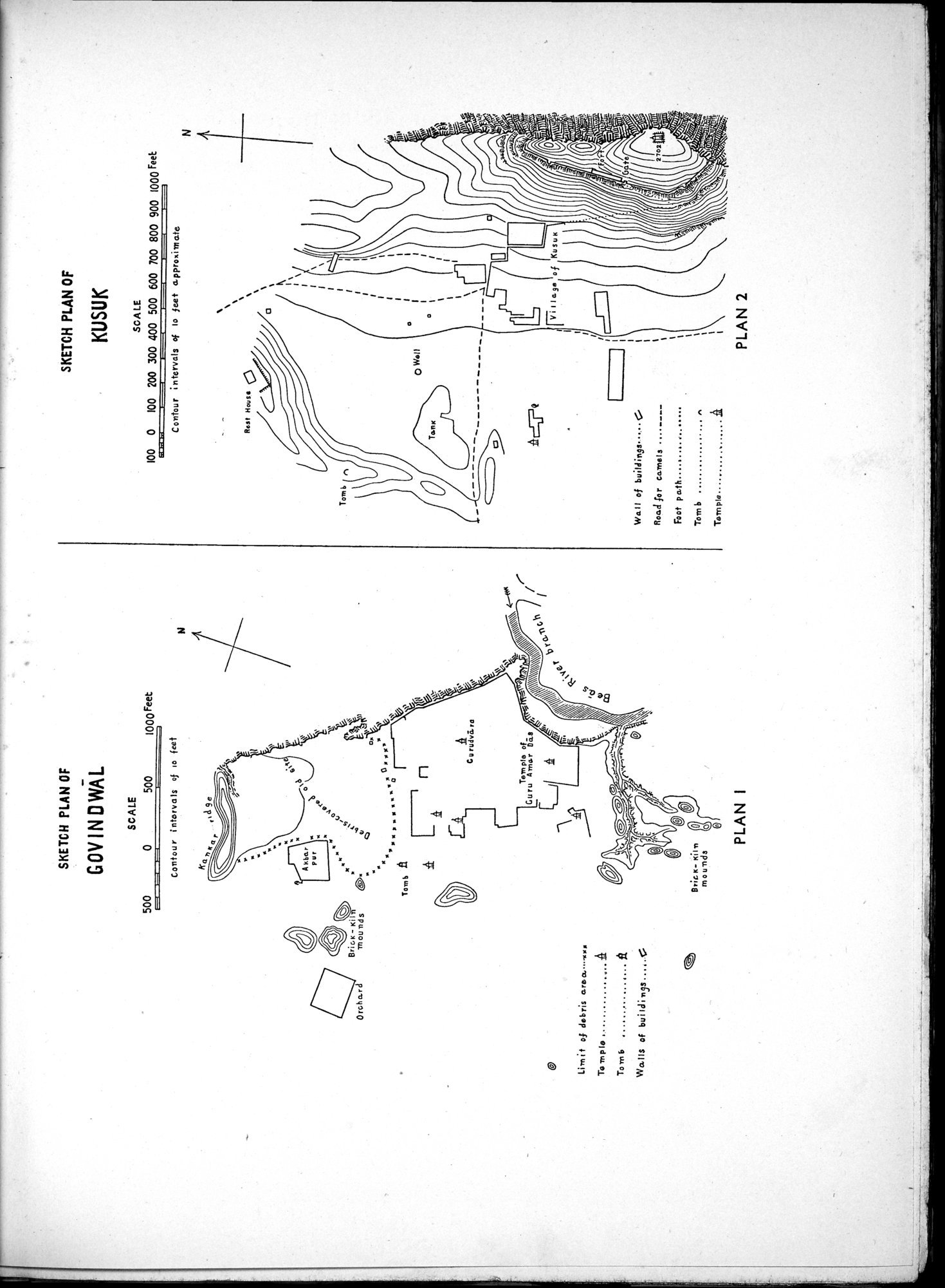 |
| SKETCH PLAN OF GOVINDWĀL | |
| SKETCH PLAN OF KUSUK |
1000 Feet
SKETCH PLAN OF
60V IN OWAL
SCALE
500 0 500
N
SCALE
100 0 100 200 300 400 500 600 700 800 900 1000 Feet
Contour intervals of to feet approximate
PLAN I
PLAN 2
SKETCH PLAN OF
KUSUK
Rest Mause
Tomb
rt
pWell
—
ViIlayelo
Well of build inv. ••.••G Road for camels
Foot path
Tomb . . n
Temple A
Contour intorvals of Io feet
Brio( KiI
mounds
Limit of debris area••••r■x
Temple 15
Tomb
Wo.IIS of buildings
N
|
Copyright (C) 2003-2019 National Institute of Informatics and The Toyo Bunko. All Rights Reserved.