National Institute of Informatics - Digital Silk Road Project
| |||||||||
|
| Archaeological Reconnaissances in North-Western India and South-Eastern Īrān : vol.1 |
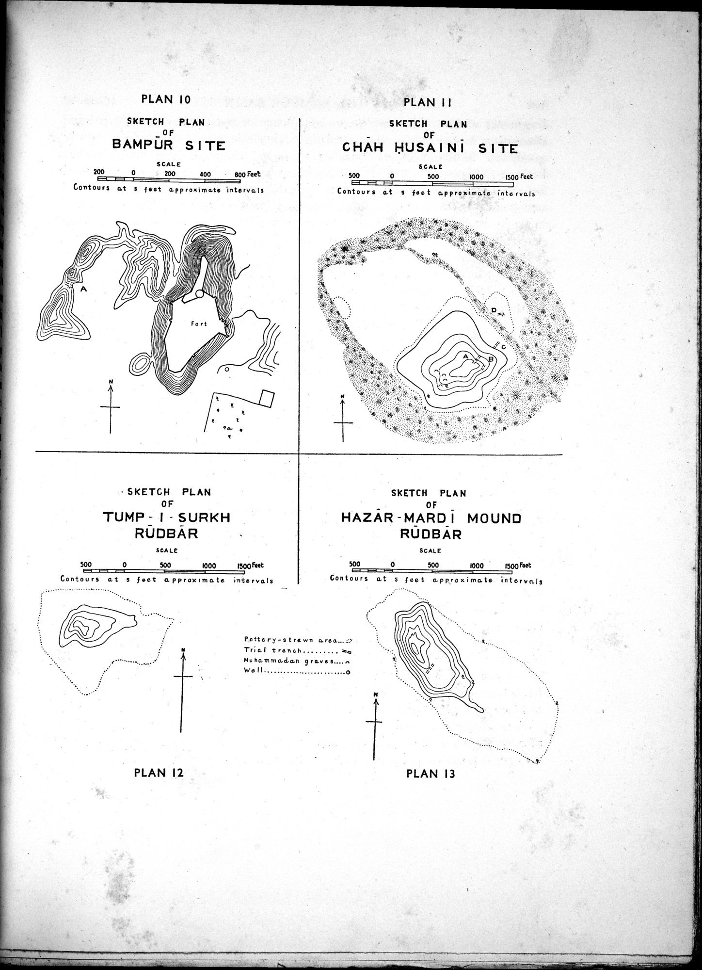 |
| SKETCH PLAN OF BAMPŪR SITE | |
| SKETCH PLAN OF CHĀH H(Hの下にピリオド)USAINĪ SITE | |
| SKETCH PLAN OF TUMP-I-SURKH RŪDBĀR | |
| SKETCH PLAN OF HAZĀR-MARDĪ MOUND RŪDBĀR |
PLAN 10
PLAN 11
SKETCH PLAN
0F
BAMPU R SITE
SKETCH PLAN
OF
CHAH HUSA INI SITE
SCALE
200 0 200 400 B00 Feet
SCALE
500 0 500 1000 1500 Feet
1-1 1
Contours at s fee t approximate intervals
Contours at $ f • et approximate Intervals
SKETCH PLAN
OF
TUMP - I - SURKH
RUDBAR
SKETCH PLAN
OF
NAZAR -MARD I MOUND RODBÀR
SEA LE
500
0 500 1000 1500 rut
Contours at s feet approximate intervals
SCALE
500 0 500 1000 1500 Feet
Contours at s feet approximate intervals
...•
• • • •
• •
•
•
•
.......... ......••
•
•
•
Pottery-s t re wn
TraI trench
ar*
mu namm %San r av e
we ll . .0
e
•• .......
PLAN 12
PLAN 13
|
Copyright (C) 2003-2019 National Institute of Informatics and The Toyo Bunko. All Rights Reserved.