国立情報学研究所 - ディジタル・シルクロード・プロジェクト
| |||||||||
|
| Southern Tibet : vol.7 | |
| 南チベット : vol.7 |
 |
STRAHLENBERG AND OTHERS.
72
The mountains north of India are mentioned under the name of Ima in a letter from the R. P. VENANTIUS BOUCHET dated Pondisherry, April 1st, 1719, in which
it is said:
Diese gantze Landschafft Ost-Indien herwärts des Ganges wird durch das Gebürg
Gat von der Comorinische Spitz an biss zu dem Berg Ima in zwey Theil entschieden. Obwohl aber Ptolomaeus denselben Imao nennet und andere Geographi ihm andere Nahmen geben ; so heisst er doch sowol bey denen Indianern in ihrer heutigen Sprach, als auch in ihren alten Büchern Ima, mit Versicherung dass in solchem der Fluss Ganges entspringe. i
In the same letter the source of the Indus is placed either in Kashmir or in
Ima, Himalaya:
Wo der Fluss Indus eigentlich entspringe ist noch nicht ausgemacht : etliche Indianer setzen dessen Ursprung in der Landschafft Caschemir, andere aber in dem Berg Ima. Der Ganges ist ohne Widerrede der grösste Fluss in gantze Asien.
We now come to the famous work of ABUL GHÂZI BAHÂDUR, the manuscript of which was bought by some of the Swedish officers who were prisoners at Tobolsk, from a merchant of Bokhara and who had it translated into Russian and other languages.2
Of the two maps illustrating this work, the editor gives the following information in his Preface, p. XIX:
To illustrate his observations the better, the Editor has prefixe'd two Maps to the Tatar History : The first shews the State of Tatary in the time of Zingîz Khân, with the situations of the several Tribes of the Turkish Nation ; the other is a Representation of it as it is at present; both of them are curious in their Kind, and have several Improvements former Maps want.
Amongst other things he says that the Country of Khowârazm has undergone »a thorow Reformation; Turkestân has got into its right Place; in short, the whole puts on a new Face, and is represented in a Form very different from what it bears in other Maps».
But the editor admits the maps are defective in some respects.
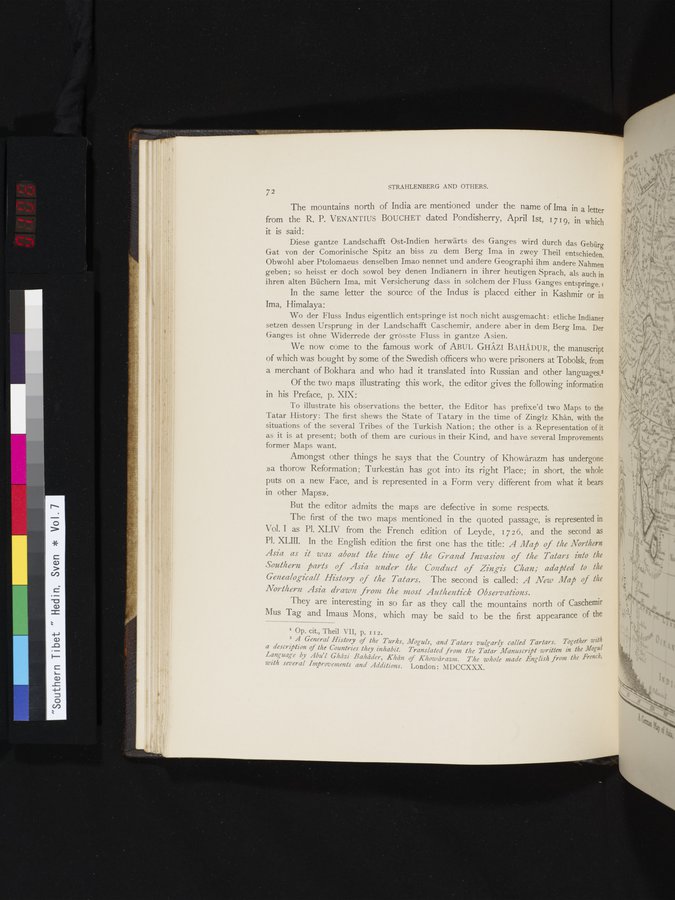
The first of the two maps mentioned in the quoted passage, is represented in
Vol. I as Pl. XLIV from the French edition of Leyde, 17 2 6, and the second as PI. XLIII. In the English edition the first one has the title: A Map of the Northern Asia as it was about the time of the Grand Invasion of the Tatars into the Southern parts of Asia under the Conduct of Zingis Chan; adapted to the
Genealog-icall History of the Tatars. The second is called: A New Map of the Northern Asia drawn froh the most Authentick Observations.
They are interesting in so far as they call the mountains north of Caschemir Mus Tag and Imaus Mons , which may be said to be the first appearance of the
I Op. cit., Theil VII, p. 112.
2 A General History of the Turks, a description of the Countries they inhabit. Language by Abu'l Ghâzi Bahâder, Khân with several Improvements and Additions.
Moguls, and Tatars vulgarly called Tartars. Together with Translated from the Tatar Manuscript written in the Mogul of Khowâraz,u. The whole made English from the French,
London: MDCCXXX.
|
Copyright (C) 2003-2019
National Institute of Informatics(国立情報学研究所)
and
The Toyo Bunko(東洋文庫). All Rights Reserved.
本ウェブサイトに掲載するデジタル文化資源の無断転載は固くお断りいたします。