国立情報学研究所 - ディジタル・シルクロード・プロジェクト
| |||||||||
|
| Southern Tibet : vol.7 | |
| 南チベット : vol.7 |
 |
590
RECAPITULATION OF THE OROGRAPI-HY AND MORPHOLOGY OF TIBET.
•
compared with those of the self-contained plateau-land, from i : 2. at Dolma-la, o I : 4000 at Dung-kang on the Upper Indus. It also shows how very slowly the grount rises to the flat passes in the interior, a fact due to the levelling agencies of the atmosphere described above.
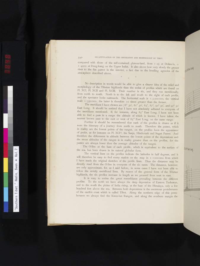
No description in words would be able to give a clearer idea of the relief and morphology of the Tibetan highlands than the series of profiles which are found on Pl. XCI, Pl. XCII and Pl. XCIII. Their number is six, and they run meridionally, from north to south. North is to the left and south to the right of each profile, and the spectator looks eastwards. The horizontal scale is I :3 500 000, the vertical scale I : 350 000; the latter is therefore 1 o times greater than the former.
The meridians I have chosen are 78° 3o', 81° 3o', 85°, 87°, 9o° 3o', and 92° 30 East Long. It should be noticed that I have not absolutely adhered to everyone of the meridians mentioned. If, for instance, along 85° East Long. I have not been able to find a pass in a range the altitude of which is known, I have taken the nearest known pass to the east or west of 85° East Long. on the same range.
Further it should be remembered that each of the profiles is drawn as if it were the itinerary of a journey from north to south. Therefore the passes, which in reality are the lowest points of the ranges, on the profiles have the appearance of peaks, as for instance on Pl. XCIA, the Sanju, Hindu-tash and Suget Passes. And therefore the differences in altitude between the lowest points of the depressions and the mean altitudes of the ranges is in reality greater than on the profiles, for the passes are always lower than the average altitudes of the ranges.
The 0-line at the base of each profile, which is equivalent to the surface of the sea, has been drawn in its natural globular form.
The vertical lines on the profiles indicate the latitudes in half degrees, and it will therefore be easy to find every station on the map in 1 : I 000 000 from which I have made the original sketches of the profile lines. Thus the distances may be directly read from the 0-line in everyone of the six cases. The distances, however, are only approximate, for, as I said before, in some cases I have not been able to follow the strictly meridional lines. By reason of the general form of the Tibetan highlands, the six profiles increase in length as we proceed from west to east.
It is easy to notice the great resemblance prevailing between the different profiles. To the north we have always the deep depression of Eastern Turkestan, and to the south the plains of India rising, at the base of the Himalaya, only a few hundred feet above the sea. Between both depressions is the enormous protuberance of the earth's crust which is called Tibet. Along the northern edge of this protuberance we always find the Kwen-lun Ranges, and along the southern margin the
|
Copyright (C) 2003-2019
National Institute of Informatics(国立情報学研究所)
and
The Toyo Bunko(東洋文庫). All Rights Reserved.
本ウェブサイトに掲載するデジタル文化資源の無断転載は固くお断りいたします。