National Institute of Informatics - Digital Silk Road Project
| |||||||||
|
| Memoir on Maps of Chinese Turkistan and Kansu : vol.1 |
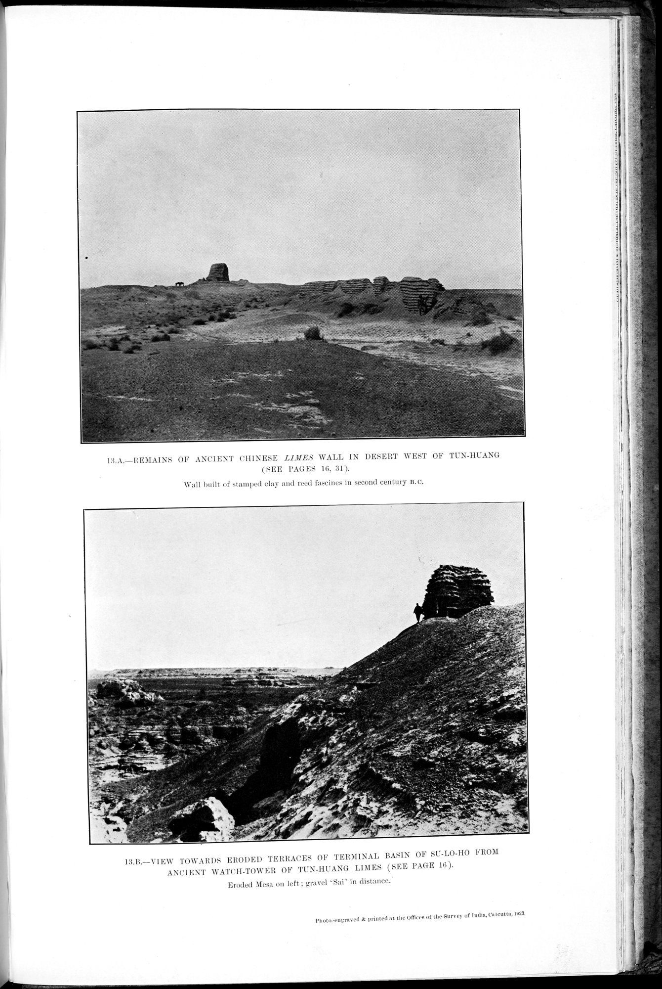 |
| REMAINS OF ANCIENT CHINESE LIMES WALL IN DESERT WEST OF TUN-HUANG (SEE PAGES 16, 31). Wall built of stamped clay and reed fascines in second century B. C. | |
| VIEW TOWARDS ERODED TERRACES OF TERMINAL BASIN OF SU-LO-HO FROM ANCIENT WATCH-TOWER OF TUN-HUANG LIMES (SEE PAGE 16). Eroded Mesa on left; gravel ‘Sai’ in distance. |
I:LA.—REMAINS OF ANCIENT CHINESE LIMES WALL IN DESERT WEST OF TUN-HUANG (SEE PAGES 16, 31).
Wall built of stamped clay and reed fascines in second century B.C.
13.B.—VIEW TOWARDS ERODED TERRACE OF TERMIIN.U. BASIN OF SU-LO-HO FROM ANCIENT WATCH-TOWER OF Tl*X-HUANG LIMES (SEE PAGE 16).
Eroded Mesa on left; gravel `Sal' in distance.
Photo.-engraved & printed at the UOlces of the Survey of India, Co do ia, 1023.
|
Copyright (C) 2003-2019 National Institute of Informatics and The Toyo Bunko. All Rights Reserved.