National Institute of Informatics - Digital Silk Road Project
| |||||||||
|
| Explorations in Turkestan : Expedition of 1904 : vol.2 |
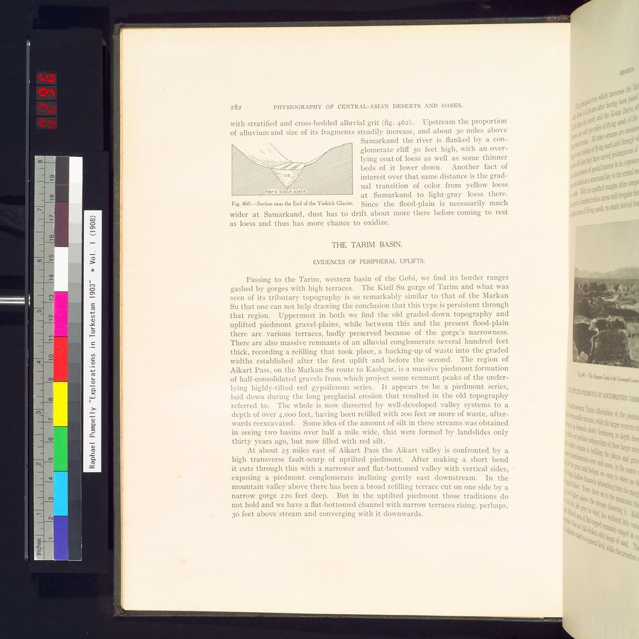 |
| Section near the End of the Yarkich Glacier. |
282 PHYSIOGRAPHY OP CENTRAL-ASIAN DESERTS AND OASES.
with stratified and cross-bedded alluvial grit (fig. 462) . Upstream the proportion of alluvium and size of its fragments steadily increase, and about 3o miles above
Samarkand the river is flanked by a con-
\ " glomerate cliff 5o feet high, with an over-
lying coat of loess as well as some thinner beds of it lower down. Another fact of interest over that same distance is the gradual transition of color from yellow loess at Samarkand to light-gray loess there.
Fig. 460.—Section near the End of the Yarkich Glacier. Since the flood-plain is necessarily much
wider at Samarkand, dust has to drift about more there before coming to rest as loess and thus has more chance to oxidize.
THE TARIM BASIN.
EVIDENCES OF PERIPHERAL UPLIFTS.
Passing to the Tarim, western basin of the Gobi, we find its border ranges gashed by gorges with high terraces. The Kizil Su gorge of Tarim and what was seen of its tributary topography is so remarkably similar to that of the Markan Su that one can not help drawing the conclusion that this type is persistent through that region. Uppermost in both we find the old graded-down topography and uplifted piedmont gravel-plains, while between this and the present flood-plain there are various terraces, badly preserved because of the gorge's narrowness. There are also massive remnants of an alluvial conglomerate several hundred feet thick, recording a refilling that took place, a backing-up of waste into the graded widths established after the first uplift and before the second. The region of Aikart Pass, on the Markan Su route to Kashgar, is a massive piedmont formation of half-consolidated gravels from which project some remnant peaks of the underlying highly-tilted red gypsiferous series. It appears to be a piedmont series, laid down during the long preglacial erosion that resulted in the old topography referred to. The whole is now dissected by well-developed valley systems to a depth of over 4,000 feet, having been refilled with 200 feet or more of waste, afterwards reexcavated. Some idea of the amount of silt in these streams was obtained in seeing two basins over half a mile wide, that were formed b_v landslides only thirty years ago, but now filled with red silt.
At about 25 miles east of Aikart Pass the Aikart valley is confronted by a high transverse fault-scarp of uptilted piedmont. After making a short bend it cuts through this with a narrower and flat-bottomed valley with vertical sides, exposing a piedmont conglomerate inclining gently east downstream. In the mountain valley above there has been a broad refilling terrace cut on one side by a narrow gorge 220 feet deep. But in the uptilted piedmont those traditions do not hold and we have a flat-bottomed channel with narrow terraces rising, perhaps, 3o feet above stream and converging with it downwards.
|
Copyright (C) 2003-2019 National Institute of Informatics and The Toyo Bunko. All Rights Reserved.