国立情報学研究所 - ディジタル・シルクロード・プロジェクト
| |||||||||
|
| Scientific Results of a Journey in Central Asia, 1899-1902 : vol.3 | |
| 1899-1902年の中央アジア旅行における科学的成果 : vol.3 |
 |
A TIBETAN SALT LAKE. I07
thing suggested that its character all over its area remains precisely what it was along the line where we did take soundings. It is at any rate highly improbable that any other part of the lake is deeper than 21/2 meters, for it must be remembered that we crossed it diagonally.
Owing to a strong gale springing up from the east in the afternoon, we altered our course during the last portion of the journey towards the S. 50° W. But while the northern shore shelves very, very slowly, off the sourthern shore we obtained a depth of 2.01 m. at a distance of Boo m. out, and we were able to paddle all the way to land, which consisted, not of mud, but of sharp-edged gravel, the débris of a black schist. There was a deep, narrow miniature bay, with a lagoon inside it, and both white with salt under a sheet of water about one centimeter deep. The ground between the edge of the lake and the nearest hills was undulating and bore japkak scrub.
On 2 3rd August we took a series of soundings between Camps XXXI and XXXII, the direction being towards the N. 7 5° W., diagonally across the southwestern part of the lake. Here we obtained the following depths — 2.07, 2.37, 2.26, 2.05, 2.01, 1.84, 1.42, 1.08, and 0.60 m. Thus the maximum depth along this line was only 4 cm. more than that along the former, and this, 2.37, was the maximum sounding we obtained anywhere in the lake. If, disregarding the third series of soundings,
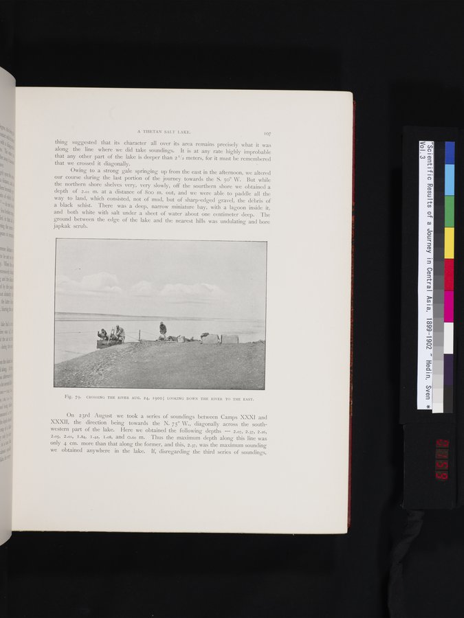
Fig. 79. CROSSING THE RIVER AUG. 24, 1900; LOOKING DOWN THE RIVER TO THE EAST.
|
Copyright (C) 2003-2019
National Institute of Informatics(国立情報学研究所)
and
The Toyo Bunko(東洋文庫). All Rights Reserved.
本ウェブサイトに掲載するデジタル文化資源の無断転載は固くお断りいたします。