国立情報学研究所 - ディジタル・シルクロード・プロジェクト
| |||||||||
|
| Scientific Results of a Journey in Central Asia, 1899-1902 : vol.3 | |
| 1899-1902年の中央アジア旅行における科学的成果 : vol.3 |
 |
NORTH AND WEST OF TIIE ANAMBARUIN-ULA. 367
Yet farther out in the same direction the surface appeared, at any rate to the eye, to be perfectly level and free from hindrances; but our Mongols asserted, that travelling was there impossible because of the ravines, although it is hardly conceivable that the relief could be more capricious or more difficult than it was along the line taken by our route.
14.
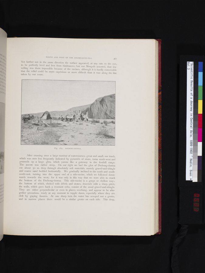
After crossing over a large number of watercourses, great and small, our track, which was now less frequently indicated by pyramids of stone, turns south-west and proceeds up a large glen, which yawns like a gateway in the foothill range. The ascent was rather steep. On our right we had the glen of Dschong-duntsa cut about 5o m. deep through absolutely soft materials, namely gravel-and-shingle and coarse sand bedded horizontally. We gradually inclined to the south and south-south-east, turning into the upper end of a side-ravine, which we followed downwards towards the west; for it was only in this way that we were able to reach the bottom of the Dschong-duntsa. This side-ravine is a gorge or »hollow way», the bottom of which, choked with débris and stones, descends with a sharp pitch; the walls, which gave back a resonant echo, consist of the usual gravel-and-shingle. They are either perpendicular or even in places overhang, and appear to be altogether precarious, ready at any moment to topple down, especially where they are cleft by gaping fissures. At one sharp turn the water has scooped out a grotto, and in narrow places there would be a similar grotto on each side. This deep,
Fig. 2 ôc). DSCHONG—DUNTSA.
|
Copyright (C) 2003-2019
National Institute of Informatics(国立情報学研究所)
and
The Toyo Bunko(東洋文庫). All Rights Reserved.
本ウェブサイトに掲載するデジタル文化資源の無断転載は固くお断りいたします。