国立情報学研究所 - ディジタル・シルクロード・プロジェクト
| |||||||||
|
| Scientific Results of a Journey in Central Asia, 1899-1902 : vol.3 | |
| 1899-1902年の中央アジア旅行における科学的成果 : vol.3 |
 |
UP THE TSCHARKLIK-SU TO TIIE KUAI-KÖL.
407
road through this glen; probably it is, like the Tscharklik-su, too greatly obstructed with gravel and stones; nevertheless there is a mountain-path by the side of it.
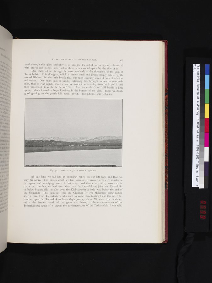
Our track led up through the most southerly of the side-glens of the glen of Tatlik-bulak. This side-glen, which is rather small and pretty deeply cut, is rightly named Kisil-su, for the little brook that was then coursing down it was of a brick-red colour. One more pass or saddle, extremely flat, brought us into the next main glen, that of Kar jaghdi, which where we struck it was coming from the S. 4o° E. and then proceeded towards the N. 6o° W. Here we made Camp VIII beside a little spring, which formed a large ice-sheet in the bottom of the glen. There was fairly good grazing on the gentle hills round about. The altitude was 386o m.
All day long we had had an imposing range on our left hand and that not very far away. The passes which we had successively crossed over were situated in the spurs and ramifying arms of that range, and thus were entirely secondary in character. Further, we had ascertained that the Unkurluk-saj joins the Tscharkliksu below Haschäklik, as also does the Kisil-partscha a little way below the end of the Unkurluk. The Jaka-saj joins the Ghulmet ( = Kul Muhamed, being named after a man from Tschertschen, who used to come there hunting), and this latter de-bouches upon the Tscharklik-su half-a-clay's journey above Mätschit. The Ghulmetsaj is the farthest south of the glens that belong to the catchment-area of the Tscharklik-su; south of it begins the catchment-area of the Tatlik-bulak. I was told,
Fig. 322. LOOKING S 38° W FROM KAR-JAGHDI.
|
Copyright (C) 2003-2019
National Institute of Informatics(国立情報学研究所)
and
The Toyo Bunko(東洋文庫). All Rights Reserved.
本ウェブサイトに掲載するデジタル文化資源の無断転載は固くお断りいたします。