国立情報学研究所 - ディジタル・シルクロード・プロジェクト
| |||||||||
|
| Scientific Results of a Journey in Central Asia, 1899-1902 : vol.3 | |
| 1899-1902年の中央アジア旅行における科学的成果 : vol.3 |
 |
that in five days, supposing one marched 3o km. every day, one might reach Dimenalik, a point on the mountain-road between Tschertschen and Temirlik. Three days are required to reach a pretty easy pass, on the other, that is the western, side of which begin the sources of the brook which runs down to Vasch-schahri. On the south of this route rises a mountain-range called Karava-tschalik, or the Black Craggy Mountains. Another pass along this same route is said to divide the waters of the Vasch-schahri from those of the Tschertschen-darja.
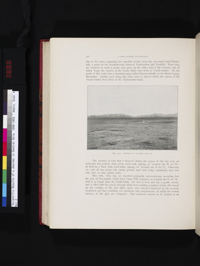
Fig. 323. LOOKING S 2° E FROM CAMP IX.
The varieties of rock that I observed during the course of this day were an extremely fine-grained, dark green, hard rock, dipping 47° towards the N. 50° W.; at Kisil-saj a hard, dark mica-schist, dipping 6o° towards the S. 6o° E. Otherwise we rode all day across soft, earthy ground, hard rock being remarkably rare, and only once or twice within reach.
May 28th. This day we travelled principally east-south-east, ascending first the glen of Kar jaghdi, which from Camp VIII continues on towards the N. 6o° W., until it at length joins the Tatlik-bulak. Its bed is level and has a gentle ascent, and is filled with fine gravel, through which were trickling a number of tiny rills caused by the melting of the last fallen snow, and coloured brick-red by the severely weathered and fast crumbling red sandstone and conglomerate, of which the erosion terraces of the glen are composed. This sandstone seemed to be bedded at an
|
Copyright (C) 2003-2019
National Institute of Informatics(国立情報学研究所)
and
The Toyo Bunko(東洋文庫). All Rights Reserved.
本ウェブサイトに掲載するデジタル文化資源の無断転載は固くお断りいたします。