国立情報学研究所 - ディジタル・シルクロード・プロジェクト
| |||||||||
|
| Scientific Results of a Journey in Central Asia, 1899-1902 : vol.3 | |
| 1899-1902年の中央アジア旅行における科学的成果 : vol.3 |
 |
0!!
THE GLENS AND STREAMS OF THE ILVE-TSCHIMEN AND THE ASTIN-TAGH. 245
drainage-channel out of the Upper Astin-tagh, (which we crossed over on the 8th July I 90o) yet so slight a swelling that it is not perceptible to the unaided eye. From
the last-mentioned route we were able to see as far as the Kala-köl without let or hindrance.
December 3rd. From Mandarlik we travelled towards the east-south-east, keeping a few kilometers from the foot of the mountains, in front of which stand occasional groups of small detached eminences. In the other direction, that is northwards, it was a long way to the southern foot of the Upper Astin-tagh, and in that direction there were only one or two very small hills, rising like islands above the otherwise level expanse. We passed the Kala-köl on our left, at a distance of 3 or 4 km. It appeared to be of oblong shape, and was then frozen over, notwithstanding the heavy percentage of salt it is said to contain, and all round its flat shores, there were even then white stretches of crystallised salt. On its southern shore, where the stream enters it, there was some grass. Here also was a very shallow temporary stream, divided into several arms which passed round a small free-standing rocky hill.
After that we forded a large eroded stream, called Külük-saj, a very important feature in the geographical morphology of the region. Its glen appeared to come from the S. 6o° W. and to form a vast dividing-ravine between the Akatotagh and the Schia-manglaj ; the latter had continued to decrease in altitude right down to the left bank of the Külük-saj. Thus the Schia-manglaj is pretty sharply demarcated from the Akato-tagh, being a northern outgrowth from it, but it is much more intimately conjoined with the Ilve-tschimen. Orographically, however, the three names merely indicate different parts of one and the same range, sometimes lofty, sometimes low. After emerging from the mountains, the Külük-saj does not run particularly far towards the north-east before it terminates in a lajdang, or perfectly
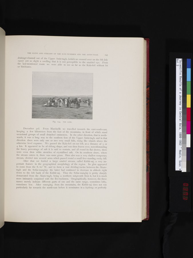
Fig. 194. THE SAME.
|
Copyright (C) 2003-2019
National Institute of Informatics(国立情報学研究所)
and
The Toyo Bunko(東洋文庫). All Rights Reserved.
本ウェブサイトに掲載するデジタル文化資源の無断転載は固くお断りいたします。