国立情報学研究所 - ディジタル・シルクロード・プロジェクト
| |||||||||
|
| Scientific Results of a Journey in Central Asia, 1899-1902 : vol.3 | |
| 1899-1902年の中央アジア旅行における科学的成果 : vol.3 |
 |
24 MY FIRST JOURNEY IN NORTH-EASTERN TIBET.
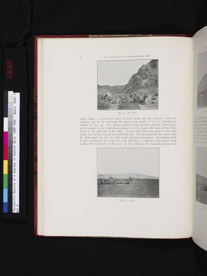
simply Kakir, a word which means »a hard, sterile, dry clay bottom». From the southern foot of the Astin-tagh the slope is very gentle, I° to I I/2°, though perceptible to the eye. The surface consists of fine, powdery material, little gravel, and is seamed by dry watercourses running S. 25° E. down to the main stream, which keeps to the south side of the valley. At the point where we crossed it the main stream was flowing towards the east-north-east. It is also joined by dry ravines from the Akato-tagh, but they are both smaller and fewer in number. Immediately north of this watercourse the track we were following is connected with another track leading from Usun-schor in the west. In the south-west the dominating feature was
Fig. 22. THE SAME.
Fig. 23. CAMP V.
|
Copyright (C) 2003-2019
National Institute of Informatics(国立情報学研究所)
and
The Toyo Bunko(東洋文庫). All Rights Reserved.
本ウェブサイトに掲載するデジタル文化資源の無断転載は固くお断りいたします。