National Institute of Informatics - Digital Silk Road Project
| |||||||||
|
| Scientific Results of a Journey in Central Asia, 1899-1902 : vol.3 |
 |
24 MY FIRST JOURNEY IN NORTH-EASTERN TIBET.
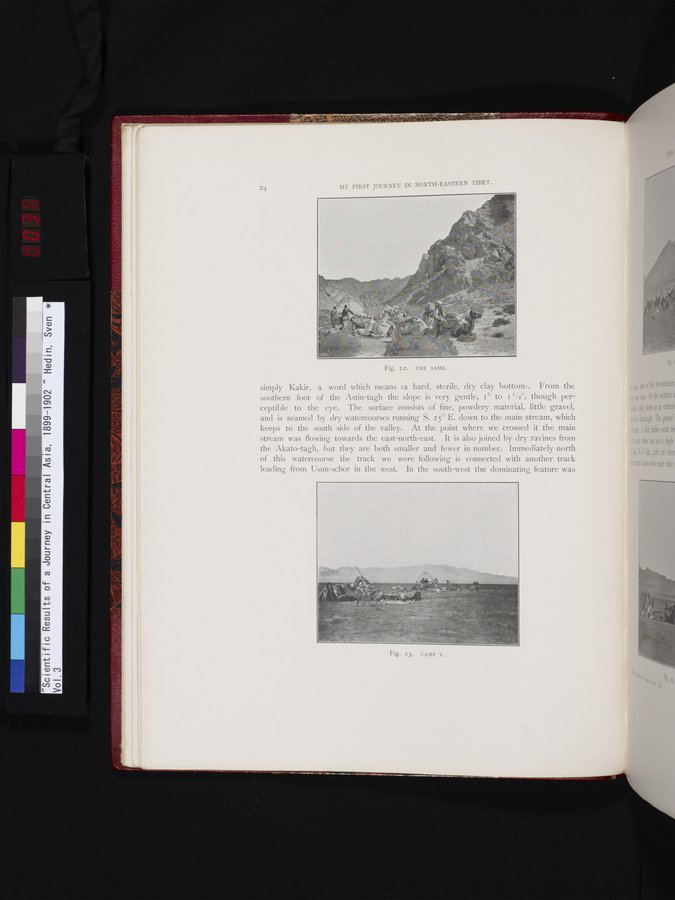
simply Kakir, a word which means »a hard, sterile, dry clay bottom». From the southern foot of the Astin-tagh the slope is very gentle, I° to I I/2°, though perceptible to the eye. The surface consists of fine, powdery material, little gravel, and is seamed by dry watercourses running S. 25° E. down to the main stream, which keeps to the south side of the valley. At the point where we crossed it the main stream was flowing towards the east-north-east. It is also joined by dry ravines from the Akato-tagh, but they are both smaller and fewer in number. Immediately north of this watercourse the track we were following is connected with another track leading from Usun-schor in the west. In the south-west the dominating feature was
Fig. 22. THE SAME.
Fig. 23. CAMP V.
|
Copyright (C) 2003-2019 National Institute of Informatics and The Toyo Bunko. All Rights Reserved.