National Institute of Informatics - Digital Silk Road Project
| |||||||||
|
| Scientific Results of a Journey in Central Asia, 1899-1902 : vol.3 |
 |
OVER THE ASTIN-TAGH. 5
so that the water, upon reaching down as far as this after a violent rain in the mountains, spreads out in a sort of delta. It is very probable that the belt of vegetation, which at Dunglik grows on the border-line between the perfectly level ground of the former lake-bottom and the slowly ascending saj, owed its origin to temporary streams just like this. The water pretty certainly never gets beyond this belt of vegetation, but, gathering there, forms transient marshes; unquestionably it never gets down as far as the Kara-koschun.
At Julghunluk, and all the way up from that point, the scrubby plant tscleutsclzun makes its appearance, though it occurs very sparsely throughout, except in the watercourses, where it is more abundant. At intervals the road is marked by small heaps or pyramids of stones; they do not indicate the distance, only the direction in which the road runs, for it is always difficult to follow these roads in a desert storm. But the half way between Dunglik and Tatlik-bulak is marked at a gentle swell by two pyramidal heaps of stones.
We next came to the eroded watercourse of Jan-bulak, a pretty big channel; and so too is the next one formed by the junction of the Toghrak-tschap and the Kosch-bulak. Both these streams appeared to issue from an imposing and dominating bluff of the Astin-tagh, to which belongs also the fourth of the up-standing mountain-peaks the compass-bearings of which I had already taken. But after that the appearance and the actual characteristics of the country underwent a change, for we entered in amongst the lowest foot-hills of the range. These consist of gravel-and-shingle, coarse sand on the top and fine, soft disintegrated material underneath, the gravel being firmly cemented in the soft material. We struck into a pretty distinct, but dry, glen. At its entrance there was a light green schist, dipping 70° towards the S. i 5° W., and after that came a hard, dark schist at 80°
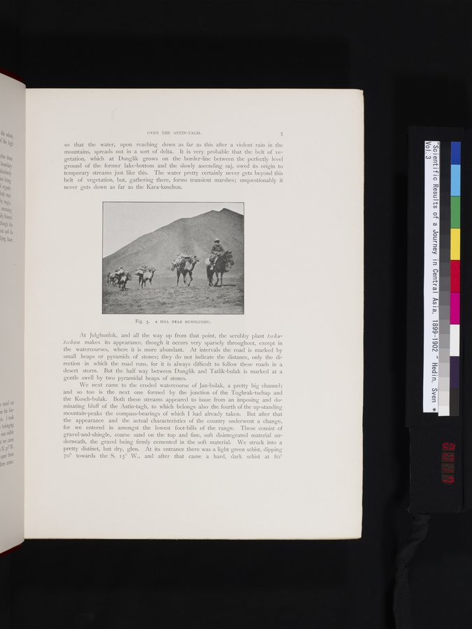
Fig. 3. A HILL NEAR HUNGLUGHU.
|
Copyright (C) 2003-2019 National Institute of Informatics and The Toyo Bunko. All Rights Reserved.