National Institute of Informatics - Digital Silk Road Project
| |||||||||
|
| Scientific Results of a Journey in Central Asia, 1899-1902 : vol.3 |
 |
5 32 MY JOURNEY ALONG THE ARKA-TAGH IN 1896.
tikan and Jes-saj respectively. The ascent grew steadily steeper and the river which came down west from the pass of Tschokalik was in full flood, the water being muddy. Here we encamped at an altitude of 4285 m. There are said to be heavy falls of snow in this region, so that it lies up to two feet in depth. Lama-tschimen is only visited by the shepherds in summer. During this day's journey the predominating rocks were various varieties of schist. Granite occurred only at one place, namely at the bend of the Mit river, where we turned east.
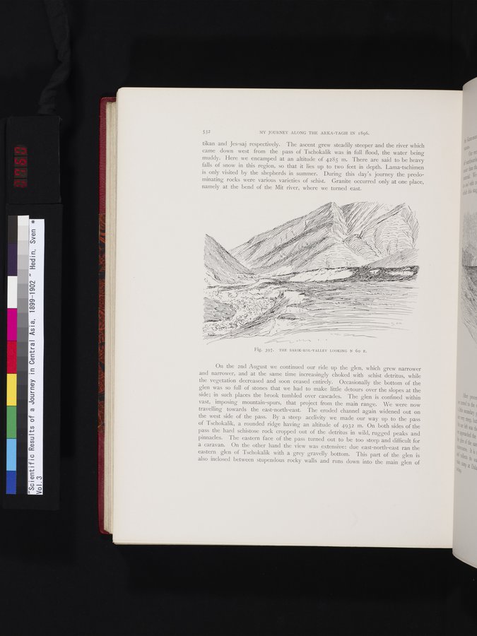
On the 2nd August we continued our ride up the glen, which grew narrower and narrower, and at the same time increasingly choked with schist detritus, while the vegetation decreased and soon ceased entirely. Occasionally the bottom of the glen was so full of stones that we had to make little detours over the slopes at the side; in such places the brook tumbled over cascades. The glen is confined within vast, imposing mountain-spurs, that project from the main range. We were now travelling towards the east-north-east. The eroded channel again widened out on the west side of the pass. By a steep acclivity we made our way up to the pass of Tschokalik, a rounded ridge having an altitude of 4932 m. On both sides of the pass the hard schistose rock cropped out of the detritus in wild, rugged peaks and pinnacles. The eastern face of the pass turned out to be too steep and difficult for a caravan. On the other hand the view was extensive : due east-north-east ran the eastern glen of Tschokalik with a grey gravelly bottom. This part of the glen is also inclosed between stupendous rocky walls and runs down into the main glen of
Fig. 397. THE SARIK-KOL-VALLEY LOOKING N 6o E.
|
Copyright (C) 2003-2019 National Institute of Informatics and The Toyo Bunko. All Rights Reserved.