National Institute of Informatics - Digital Silk Road Project
| |||||||||
|
| Scientific Results of a Journey in Central Asia, 1899-1902 : vol.3 |
 |
578 MY JOURNEY ALONG THE ARKA-TAGII IN 1896.
the customary mounds, we approached the Mongol tent-village of Ike-tsohan-gol, at an altitude of 2 763 m.
Here ends the account of my journey through Northern Tibet in 1896. I shall return to it again in the succeeding volume, in the section in which I propose to give a general view of the orography and hypsometry of the Tibetan highlands, and shall then not only analyse the observations which I made in the course of the journey, but also institute a comparison between this magnificent latitudinal valley and others that resemble it, more particularly that in which Wellby and Malcolm travelled. With regard to the continuation of my journey from Ike-tsohan-gol across Tsajdam and alongside the Koko-nor to Si-ning-fu, and finally to Peking, I would beg to refer to my monograph in Pelermanns Milleilunggen, Ergänzhft No. 131, where also will be found the map prepared and drawn by Dr Hassenstein. Suffice it to say here, that I travelled eastwards along the foot of the southern border-range of Tsajdam, then after fording the Bajin-gol I struck north, and then east again. At the angle I had an opportunity to take a glance at the twin lakes of Kurlik-nor and Tosunnor, which called vividly to my mind many another pair of linked lakes in Tibet, because one of them contains fresh water, while the other contains salt, and yet both lie close together. The former lake is entered by several tributaries from the northern border-range of Tsajdam, while at its southern end issues the river Holuin-gol, which soon empties itself into the lower lake of Tosun-nor, the water of which is intensely salt. A precisely similar state of things occurs in the combination of the Upper and Lower Kum-köl, as well as in the newly discovered lakes in Eastern Tibet which I have described above. And in vol. IV we shall encounter even more beautiful examples of this lacustrine »twinning» in the region of the Selling-tso, the Naktsongtso, and the Tschargut-tso, as also in the Tso-ngombo and the Panggong-tso.
Continuing eastwards beyond the Kurlik-nor, we soon passed several smaller detached lakes — the Chara-nor, Sürche-nor, and Tsagan-nor, the last-named situated not far from the Dulan-kit, which is known from Prschevalskij's journeys. Then, after travelling alongside the Buchain-gol and the northern shore of the Koko-nor, the largest lake in the heart of Asia, — which, I may acid, is still awaiting its investigator, who would certainly find himself amply rewarded for his labour — I approached the Chara-kötel, or the Black Pass, for me a very important point, for it was there that I at length turned my backup on the self-contained drainage-basins of Central Asia, in which I had been travelling to and fro for the space of more than three years, and at length entered the true peripheral regions that drain down to the ocean.
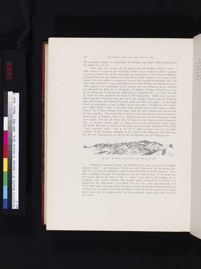
Fig. 466. MOUNTAIN AT DULAN-KIT; BETWEEN W AND NNW.
|
Copyright (C) 2003-2019 National Institute of Informatics and The Toyo Bunko. All Rights Reserved.