National Institute of Informatics - Digital Silk Road Project
| |||||||||
|
| Scientific Results of a Journey in Central Asia, 1899-1902 : vol.3 |
 |
536 MY JOURNEY ALONG THE ARKA-TAGH IN 1896.
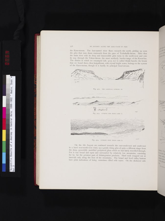
the Kara-muran. The last-named river flows towards the north, picking up soon the glen that runs down eastwards from the pass of Tschokalik-davan. After that the main river with its deep and inaccessible glen turns to the north-west and cuts its way through the Tokus-davan, the most northerly border-range of the Kwen-lun. The district in which we encamped (alt. 4075 m.) is called Bulak-baschi; the brook that we found there, then insignificant, with crystal bright water, belongs to the system of the Kara-muran, though it is hardly its principal head-stream.
r ~
.r,i:✓~/~~ ~^~-~i i ~ " "~----~—~~ _ .
~i ~~,~_~~ /✓~~.'% ~~ -~'-- r
G/NJ
Fig. 403. LOOKING ENE FROM CAMP II.
Fig. 404. LOOKING WNW FROM CAMP II.
On the 8th August we continued towards the east-south-east and south-east in a hard west-north-west wind, up a gently rising glen of quite a different shape from the deep, powerfully modelled peripheral glens which we had lately travelled through. For it was broad and open and surrounded by relatively low mountains, consisting for by far the greatest part of disintegration products. Hard rock cropped out at intervals only along the foot of the mountains. The broad and level valley bottom bore plain indications of being sometimes filled with water. On the sheltered side
- --~ --~i
.`L -
-
~
''.71"~ ' ~ .~~~
~'
~
--~ --- -- -- —_
~-
~i
5. N-,-,,
I
Fig. 402. THE GATEWAY; LOOKING SE.
11
|
Copyright (C) 2003-2019 National Institute of Informatics and The Toyo Bunko. All Rights Reserved.