National Institute of Informatics - Digital Silk Road Project
| |||||||||
|
| Scientific Results of a Journey in Central Asia, 1899-1902 : vol.3 |
 |
CROSSING THE ARKA-TAGH.
75
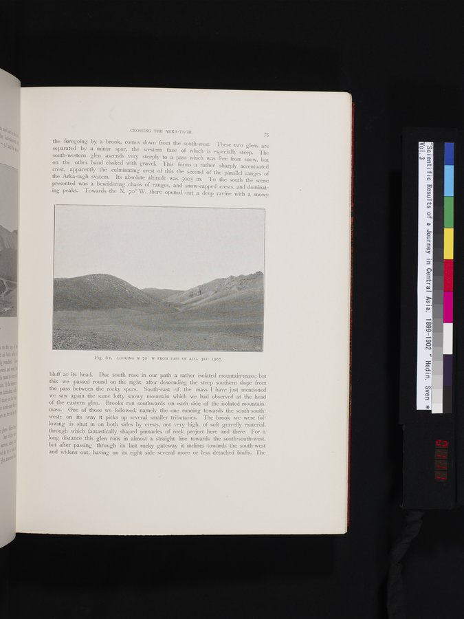
the foregoing by a brook, comes down from the south-west. These two glens are separated by a minor spur, the western face of which is especially steep. The south-western glen ascends very steeply to a pass which was free from snow, but on the other hand choked with gravel. This forms a rather sharply accentuated crest, apparently the culminating crest of this the second of the parallel ranges of the Arka-tagh system. Its absolute altitude was 5005 m. To the south the scene presented was a bewildering chaos of ranges, and snow-capped crests, and dominating peaks. Towards the N. 70° W. there opened out a deep ravine with a snowy
Fig. 62. LOOKING N 70 W FROM PASS OF AUG. 3RD I900.
bluff at its head. Due south rose in our path a rather isolated mountain-mass; but this we passed round on the right, after descending the steep southern slope from the pass between the rocky spurs. South-east of the mass I have just mentioned we saw again the same lofty snowy mountain which Ave had observed at the head of the eastern glen. Brooks run southwards on each side of the isolated mountain-mass. One of these we followed, namely the one running towards the south-southwest; on its way it picks up several smaller tributaries. The brook we were following is shut in on both sides by crests, not very high, of soft gravelly material, through which fantastically shaped pinnacles of rock project here and there. For a long distance this glen runs in almost a straight line towards the south-south-west, but after passing through its last rocky gateway it inclines towards the south-west and widens out, having on its right side several more or less detached bluffs. The
|
Copyright (C) 2003-2019 National Institute of Informatics and The Toyo Bunko. All Rights Reserved.