National Institute of Informatics - Digital Silk Road Project
| |||||||||
|
| Scientific Results of a Journey in Central Asia, 1899-1902 : vol.3 |
 |
OVER TIIE ASTIN-TAGH.
9
depth of 0.13 m., and a mean velocity of 0.92 m. in the second. Its volume amounted to 0.184 cub.m. in the second; of this amount barely one-tenth came from the little spring, but as the rest of the water was spring-water too, the volume at that season is no doubt pretty constant. We found however that, in places where the glen contracts to widths varying from 40 to I 50 m., it is sometimes filled with water from side to side; this happens of course after showers in the regions higher up. The springs flow all the year round, and consequently in winter thick and extensive sheets of ice are formed here, as in so many other places, until they almost fill the bottom of the valley. The Mongol caravans therefore, when on the way to Lhasa, avoid this route, because their camels are unable to travel on the slippery ice; but with shod horses travelling is quite easy.
_- ~—
~
_z
. . .
',r,
r `n`~~?Tti;ri ' ~ 7 7 7 .
•
-`
j'~
4v04,)/ .~
.. ,
\JI,
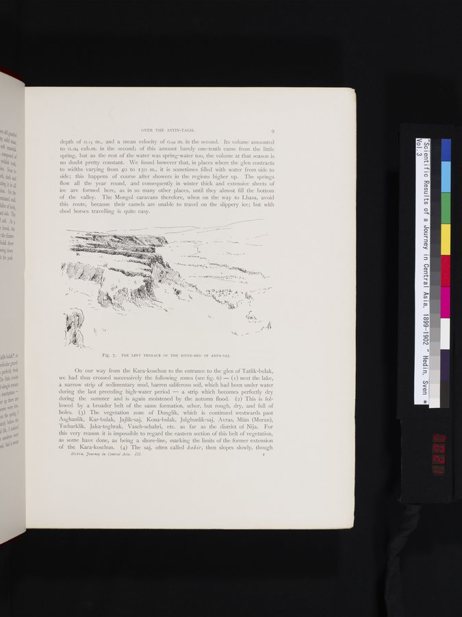
Fig. 7. THE LEFT TERRACE OF THE RIVER-BED OF ARPA-SAJ.
On our way from the Kara-koschun to the entrance to the glen of Tatlik-bulak, we had thus crossed successively the following zones (see fig. 6) — (I) next the lake, a narrow strip of sedimentary mud, barren saliferous soil, which had been under water during the last preceding high-water period — a strip which becomes perfectly dry during the summer and is again moistened by the autumn flood. (2) This is followed by a broader belt of the same formation, schor, but rough, dry, and full of holes. (3) The vegetation zone of Dunglik, which is continued westwards past Asghanlik, Kar-bulak, Jajlik-saj, Kona-bulak, Julghunlik-saj, Avras, Miän (Muran), Tscharklik, Jaka-toghrak, Vasch-schahri, etc. as far as the district of Nija. For this very reason it is impossible to regard the eastern section of this belt of vegetation, as some have done, as being a shore-line, marking the limits of the former extension of the Kara-koschun. (4) The saj, often called kakir, then slopes slowly, though
Hed i n, Tourney in Central Asia. III. 2
|
Copyright (C) 2003-2019 National Institute of Informatics and The Toyo Bunko. All Rights Reserved.