National Institute of Informatics - Digital Silk Road Project
| |||||||||
|
| Scientific Results of a Journey in Central Asia, 1899-1902 : vol.3 |
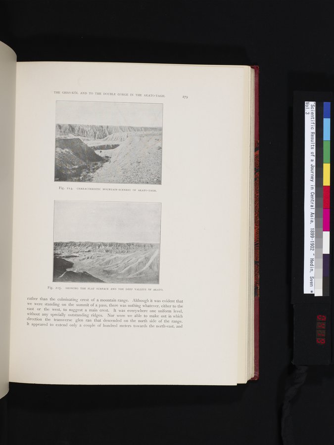 |
THE GHAS-KÖL AND TO THE DOUBLE GORGE IN THE AKATO-TAGH.
279
Fig. 215. SHOWING THE FLAT SURFACE AND THE DEEP VALLEYS OF AKATO.
rather than the culminating crest of a mountain range. Although it was evident that we were standing on the summit of a pass, there was nothing whatever, either to the east or the west, to suggest a main crest. It was everywhere one uniform level, without any specially outstanding ridges. Nor were we able to make out in which direction the transverse glen ran that descended on the north side of the range. It appeared to extend only a couple of hundred meters towards the north-east, and
Fig. 214. CHARACTERISTIC MOUNTAIN-SCENERY OF AKATO-TAGH.
|
Copyright (C) 2003-2019 National Institute of Informatics and The Toyo Bunko. All Rights Reserved.