National Institute of Informatics - Digital Silk Road Project
| |||||||||
|
| Scientific Results of a Journey in Central Asia, 1899-1902 : vol.3 |
 |
UP THE TSCHARKLIK-SU TO THE KUM-KÖL.
399
the two glens which unite here form practically one straight line running from west to east or rather a little towards the east-north-east. On the south they are bordered by an imposing and connected range, while on the north of them is the Lower Astin-tagh, which, as we have seen, is pierced by the Tscharklik-su. Below Koschlasch this latter range is also pierced by the stream that is formed by the two conjoint glens, namely that which comes down from the Jaman-davan and that from Tölkölik-bulak. Just below Koschlasch its direction is N. I o° W., though it winds about a good deal; but on the whole it preserves a direction parallel to the transverse glen of the Tscharklik-su, that is to the north-west. I was told that it de-bouches upon the lowlands not far to the east of the glen-outlet of the Tscharklik-
su; and from Jigdelik-tokaj a rocky gateway is indeed visible in that position. But in point of wildness and grandeur the glen of Koschlasch cannot compare with that of the Tscharklik-su, but then its source region in the mountains covers a less extensive area. Whereas the Tscharklik-su cuts through both parallel ranges of the Astin-tagh, it is only the lower range that is cleft by the Koschlasch ; and the volume of the latter is so insignificant that it is unable to advance especially far from the foot of the mountains, still less to promote the fertility of any cultivated ground. In this respect of the rivers that flow down northwards out of the southern border-ranges of East Turkestan the Tscharklik-su is the last towards the east that can be utilized for irrigation, and I have already pointed out that the streams which from the south flow into the main artery of the Tarim system increase in size from east to west until we come to the Jarkent-darja.
The absolute altitude at Koschlasch amounts to 2394 m., and consequently it is very appreciably higher than the corresponding point in the breach of the Tscharklik-su ; for there the altitude is 1686 m. The erosive energy of the larger river has
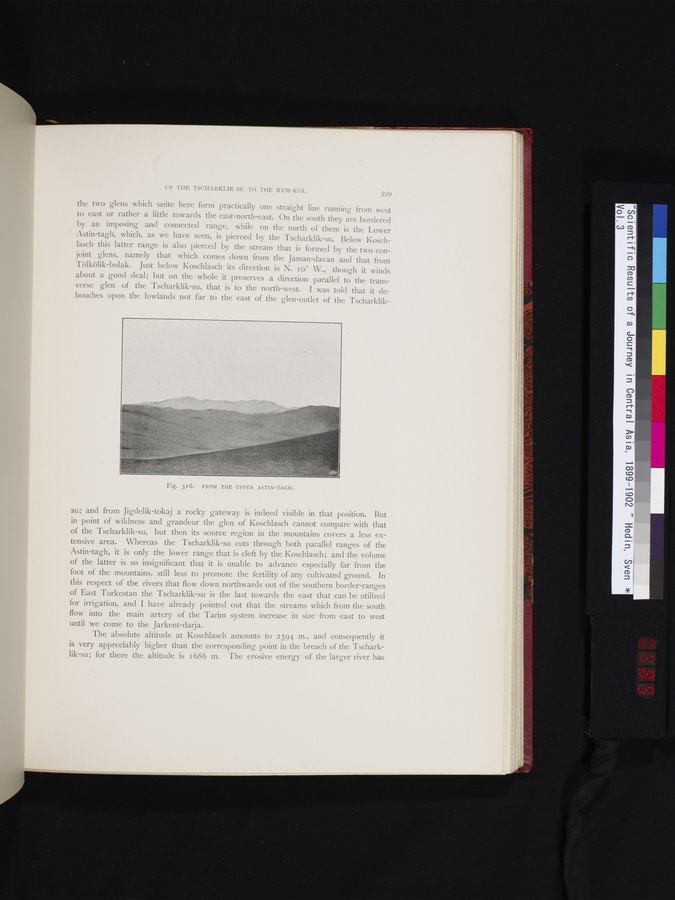
Fig. 316. FROM THE UPPER ASTIN-TAGH.
|
Copyright (C) 2003-2019 National Institute of Informatics and The Toyo Bunko. All Rights Reserved.