National Institute of Informatics - Digital Silk Road Project
| |||||||||
|
| Scientific Results of a Journey in Central Asia, 1899-1902 : vol.3 |
 |
246 EXCURSION TO AJAGII-KUM-KÖL.
flat surface covered with yellow clay deposited by its stream. Thus this last appears to reach neither the Kala-köl nor the Usun-schor.
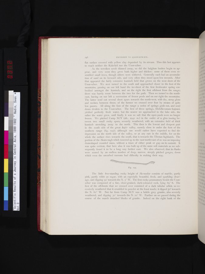
As the teresken scrub thinned away, so did the balghun bushes begin to appear, and very soon they grew both higher and thicker; some of them even resembled small trees, though others were withered. Generally each had an accumulation of sand on its leeward side, and very often they stood upon low mounds. After that appeared the fairly extensive kamisch field that grows on the west shore of the Usun-schor. We next turned to the south and approached closer to the foot of the mountains, passing on our left hand the ice-sheet of the first freshwater spring embedded amongst the kamisch, and on the right the first offshoot from the range; there was barely room between the two for the path. Then we turned to the northeast, having on our left a succession of frozen pools and on our right the mountains. The latter send out several short spurs towards the north-west, with dry, steep glens and ravines between them; of the former we crossed over four by means of quite low passes. All along the foot of the range a series of springs gush out, and send down rivulets to the Usun-schor. The first of these springs, Abdulla-ustane-kajnasi, yielded perfectly fresh water, but the nearer we approached to the lake side, the salter the water grew, until finally it was so salt that the open pools were no longer frozen. We pitched Camp XCV (alt., 2941 m.) in the outlet of a glen issuing between two small rocky spurs, severely weathered, with an extensive field of thick kamisch stretching away to the north. This then is the lowest and deepest part in the south side of the great kajir valley, namely close in under the foot of the southern range (fig. 195); although one would rather have expected to find the depression on the north side of the valley, or at any rate in the middle, for on the whole the surface rises towards the south, that is towards the Tibetan highlands. The portion of the Akato-tagh which towered up to the east-north-east of us was an imposing domeshaped rounded mass, without a trace of either peak or gap on its summit. It was quite evident, that here also it was built up of the same soft materials as we subsequently found it to be a long way farther east. We also observed, that its flanks were scored by an endless number of deep, narrow, steeply pitched gorges, down which even the uncurbed torrents had difficulty in making their way.
The little free-standing rocky height of Ak-modur consists of marble, partly pink, partly white as sugar, with an especially beautiful, fresh, and sparkling cleavage, and dipping 39° towards the N. 5° W. The first rocky promontory beside the Usunschor was composed of a fine, close-grained, dark-coloured rock, lying 89° S. The first of the offshoots that we crossed over consisted of a dark tabular schist, so excessively weathered that it crumbled to powder at the least touch; it dipped 5o° towards the N. 80° W. Not far from Camp XCV was a brittle grey granite, also severely weathered, and dipping 3o° towards the N. 2o° W. Farther on we passed during the course of the march detached blocks of granite. Indeed on the right bank of the
Fig. 195.
|
Copyright (C) 2003-2019 National Institute of Informatics and The Toyo Bunko. All Rights Reserved.