National Institute of Informatics - Digital Silk Road Project
| |||||||||
|
| Scientific Results of a Journey in Central Asia, 1899-1902 : vol.3 |
 |
134
MY FIRST JOURNEY IN NORTH-EASTERN TIBET.
We had thus made the circuit of the eastern regions of this extraordinarily complicated self-contained basin, and ascertained that the greater part of the surface water finds its way into the eastern freshwater lake, and thence proceeds into the western freshwater lake, which I will now proceed to describe. The eastern lake lies close under the mountains that fence it in on the north. To judge from the great volume of the river that flows into this lake from the south, the distance to the crest or divide on the mountains that bound the basin on the south must be pretty
Fig. 1 o6. Left. 0.80
37
32
I.10 = depth. Right. .
6o velocity. 45
0.8o
33
34
Breadth = 82 m.
0.68 0.74
30 • 50
28 38
Camp XLII. Sept. 4, 1900.
considerable. But to the south of the south-east corner of the lake we found a very flat water-divide, from which a brook flows down to a smaller lake in the northeast. This notwithstanding, all the pools here — and their number must certainly run into several thousands — form each its own little self-contained basin. The shape of the entire eastern basin is faithfully reflected in the shape and bathymetrical relations of the lake itself. Were the level of the lake to be raised some 5o m., the lake would still preserve on the whole the same shape that it exhibits now, although it would be several times larger.
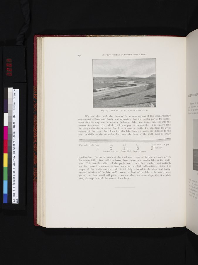
Fig. I05. VIEW OF THE RIVER BELOW CAMP XXVIII.
|
Copyright (C) 2003-2019 National Institute of Informatics and The Toyo Bunko. All Rights Reserved.