National Institute of Informatics - Digital Silk Road Project
| |||||||||
|
| Scientific Results of a Journey in Central Asia, 1899-1902 : vol.3 |
 |
570 MY JOURNEY ALONG THE ARKA-TAGH IN 1896.
also the lakes, which always stretch east and west, appear to be drawn out to an endless length, and the opposite extremity is not visible because the relatively low threshold at that end is entirely obscured by the reflection of the atmosphere. Hence these lakes generally resemble oceanic bays, and we were instinctively led to suppose that each fresh lake that we came to must stretch away to an enormous length.
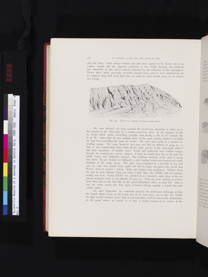
Fig. 452. MOUNT W, LOOKING NE FROM CAMP XXXVI.
We now directed our steps towards the north-east, intending to climb up to the summit of the Arka-tagh by a certain transverse glen. In the entrance to this we found black schist resembling graphite, and having a dip of 76° towards the S. 20° W. After that we saw nothing more of the open country behind us in which we had been travelling for some six weeks. We were once more in a narrow ascending gorge. The pass however was easy and had an altitude of 4939 m., so that it was considerably lower than all the other passes of the Arka-tagh which I had had experience of farther west. North and north-east were various ranges, though no conspicuous snowy masses. I have no doubt that this is the pass by which Carey and Dalgleish crossed. The northern declivity of the pass is steep, but short. In our descent we followed a glen leading north-east between two ramifications of the main range. The glen soon expanded to a breadth of 200 and 30o m., and was joined from right and left by large side-glens; the brook that flowed down it carried 2 cub.m. Yaks and kulans were numerous. Farther down we saw at some distance from our route a little lake, No. XXIII, with an emissary issuing out of it. Camp XXXV was pitched in an extensive, open glen, to the eye almost perfectly level, at an altitude of 4522 m. Thus we were already at a lower level than that of the last lake in the great latitudinal valley we had left. Here it was we came across the first signs of human beings, namely a ruined obo with »mane» slates.
On 29th September we continued towards the north-east, following at first the brook which issues, at all events one of its arms does, out of lake No. XXIII. Its high eroded terraces prove that it can sometimes swell to noteworthy dimensions; at the point where we forded it, it had a muddy torrent of 2.7 cub.m. in the
tri oo Sat mo and
Nll
of t
00 from
|
Copyright (C) 2003-2019 National Institute of Informatics and The Toyo Bunko. All Rights Reserved.