National Institute of Informatics - Digital Silk Road Project
| |||||||||
|
| Scientific Results of a Journey in Central Asia, 1899-1902 : vol.3 |
 |
OVER THE TSCHIMEN-TAGH AND KALTA-ALAGHAN. 217
but at the distance of about 5 kilometers we saw the Kum-köl-darja winding down from it to the lower lake. It was pretty broad, for the most part frozen over, though there were also reaches of open water flashing in the sunshine. A similar flashing in the sun proclaimed the presence of yet another river in the south. The latter is the stream that issues out of the Arka-tagh, and which Roborovskij calls
the Petelik-darja.
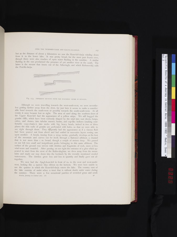
Fig. 173. DIFFERENT SECTIONS FROM THE NORTHERN SHORE OF KUM-KOL.
Although we were travelling towards the west-south-west, we were nevertheless getting farther away from the river, for just here it seems to make a considerable bend towards the south-west or possibly towards the south-south-west. At all events it soon became lost to sight. The area of sand along the southern shore of the Upper Kum-köl had the appearance of a yellow stripe. We still hugged the granite cliffs, which have been curiously shaped by the wind into vast sheets, lumps, cubes, and domes, into tabular masses, basins, and cup-like hollows (making comfortable »easy-chairs»), into necks with big heavy heads, indeed in two or three places the thin walls of granite are perforated with holes, so that we were able to see right through them. They fi;quently had the appearance as if a viscous fluid had been poured out from above and had settled in successive layers resting one upon another. A brook, issuing from a steep ravine, gradually develops at the foot of the mountain and carves out for itself, through a flattened offshoot, a channel that is not more than i m. broad, though a couple of meters deep. We passed on our left two small and insignificant peaks belonging to this same offshoot. The surface of the ground was strewn with detritus and fragments of rock, more or less wind-worn and rounded. After passing on our right the entrance of a glen which appeared to start from the crest of the Kalta-alaghan, we drew away from the mountains and made our way down into the lowlands by the recently mentioned eroded watercourse. The detritus grew less and less in quantity and finally gave out altogether.
We now had the Ajagh-kum-köl in front of us, to the west and west-southwest, looking like a narrow blue ribbon on the horizon. We were here unable to see the quarter in which the Kum-köl-darja enters the lake. The country east of the lake consists of moist schor, a tract that is without doubt under water during the summer. There were a few occasional patches of wretched grass and scrub
Hedin, Tourney in Central Asia. III. 2ô
|
Copyright (C) 2003-2019 National Institute of Informatics and The Toyo Bunko. All Rights Reserved.