National Institute of Informatics - Digital Silk Road Project
| |||||||||
|
| Scientific Results of a Journey in Central Asia, 1899-1902 : vol.3 |
 |
OVER THE ARKA-TAGH FROM KAPA.
545
Farther on this is joined by a side-glen from the south, which emerges out of two great mountain-peaks in part covered with snow. The stream that coursed down it has carved a deep channel for itself between steep gravel-and-shingle terraces. In order to avoid these, for they are frequently gashed by difficult ravines, we were forced to march along the bed of the stream, which occasionally widened out to a couple of hundred meters. Farther on the bed is cut down to a depth of 20 to 25 m. through the green schists. Finally, after making a sharp turn, almost at right angles, the river pierces the northern range, the green rock of which is there exposed at several points. Right on the elbow thus made rises a round-topped mountain, the sides of which are scored by numerous ravines. Meanwhile our latitudinal valley continued its way towards the east, though now sloping upwards in that direction. It also contained a brook of I I, 3 cub.m., which therefore unites with that which we had recently followed, and consequently with it breaks through the northern range. We pitched Camp VIII close to the confluence of the two at an altitude of 5055 m. Littledale also encamped close to the same spot, likewise touched by Dutreuil de Rhins and Grenard. But while from this point both the French and the English expedition travelled south-east in order to scale the Arka-tagh by means of a pass which Grenard calls the »southern pass of the Kara-muran» (alt. 5578 m.), I continued east-south-east along the above-mentioned latitudinal valley, and then crossed over the Arka-tagh by another and somewhat lower pass.
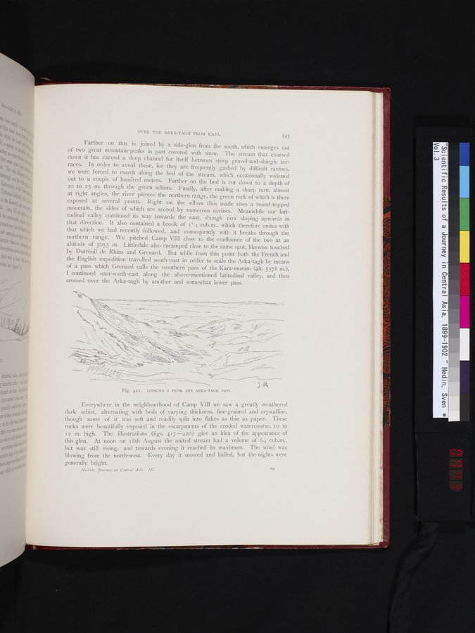
Fig. 422. LOOKING S FROM THE ARKA-TAGH PASS.
Everywhere in the neighbourhood of Camp VIII we saw a greatly weathered dark schist, alternating with beds of varying thickness, fine-grained and crystalline, though some of it was soft and readily split into flakes as thin as paper. These rocks were beautifully exposed in the escarpments of the eroded watercourse, i o to 12 m. high. The illustrations (figs. 417-420) give an idea of the appearance of this glen. At noon on i8th August the united stream had a volume of 6.3 cub.m., but was still rising, and towards evening it reached its maximum. The wind was blowing from the north-west. Every day it snowed and hailed, but the nights were
generally bright.
69
Hedin, yortrney in Central Asia. III.
\Z~
+ie~`'~
`~
~ ~~~t
,d~~%✓I ~ ~~ ~~
~•~-y ~~ l! •_, ~ ~
~
--~— – ~ ~--
_~____
|
Copyright (C) 2003-2019 National Institute of Informatics and The Toyo Bunko. All Rights Reserved.