National Institute of Informatics - Digital Silk Road Project
| |||||||||
|
| Scientific Results of a Journey in Central Asia, 1899-1902 : vol.3 |
 |
ALONG THE SOUTHER FOOT OF THE ARKA-TAGH.
567
out southwards one behind the other like the wings of a stage setting, and it was only on these that there were a few strips of snow. The other range may be said
to bisect lengthwise the great latitudinal valley between the Arka-ta rhand the Koko-schili, dividing it into two parallel valleys.
4
Turning our backs upon this lake we travelled north-north-east, marching towards the foot of the Arka-tagh, where we pitched Camp XXXII in the entrance to a glen at an altitude of 4693 m. Here we found again the usual schist, dipping 23° towards the N. 25° E.; amongst the gravel I observed also granite and mica-schist. However it proved impossible to cross over the Arka-tagh by that particular glen; it was so choked up with stones and gravel, and the approach was altogether too steep.
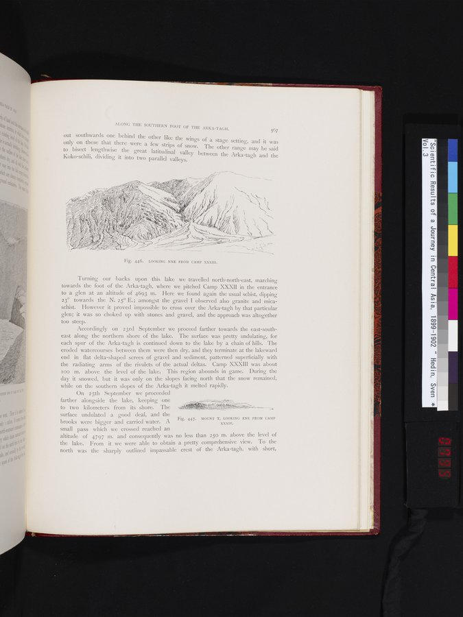
Accordingly on 23rd September we proceed farther towards the east-southeast along the northern shore of the lake. The surface was pretty undulating, for each spur of the Arka-tagh is continued down to the lake by a chain of hills. The eroded watercourses between them were then dry, and they terminate at the lakeward end in flat delta-shaped screes of gravel and sediment, patterned superficially with the radiating arms of the rivulets of the actual deltas. Camp XXXIII was about too m. above the level of the lake. This region abounds in game. During the day it snowed, but it was only on the slopes facing north that the snow remained, while on the southern slopes of the Arka-tagh it melted rapidly.
On 25th September we proceeded farther alongside the lake, keeping one to two kilometers from its shore. The surface undulated a good deal, and the brooks were bigger and carried water. A small pass which we crossed reached an
altitude of 4797 m. and consequently was n
the lake. From it we were able to obtain north was the sharply outlined impassable
4
Fig. 447. MOUNT T, LOOKING ENE FROM CAMP
XXXIV.
o less than 250 m. above the level of
a pretty comprehensive view. To the
crest of the Arka-tagh, with short,
Fig. 446. LOOKING NNE FROM CAMP XXXIII.
i
|
Copyright (C) 2003-2019 National Institute of Informatics and The Toyo Bunko. All Rights Reserved.