National Institute of Informatics - Digital Silk Road Project
| |||||||||
|
| Scientific Results of a Journey in Central Asia, 1899-1902 : vol.3 |
 |
A TIBETAN LAKE-LAND.
I25
peninsulas, and mud deposits. Immediately above the place where we forded it the river divides into two arms, and of these the arm on the right enters the bay just named_ Its bed, which is choked with extensive alluvial deposits of a reddish brown colour, contained only a few small sheets of water, though there were indications that it had recently conveyed a flood of noteworthy dimensions. After heavy rains this watercourse will probably carry 5o to 6o cub.m. or more in the second. And when this right arm contains water, the peninsula on which we then were becomes converted into an island, which is likewise studded with a number of tiny pools.
The caravan now crossed over the sound between the two lakes at its narrowest part, being helped by the boat. The breadth there amounted to 62 m., the maximum depth being 31/2 m. The bottom consisted of soft mud. North-east of the sound are several flat, grass-grown mud islands, and these are separated from our large peninsula by a stretch of water only 2 to 3 dm. deep and covering a hard bottom that bore; but the sound between its eastern end and the opposite peninsula was 2 to 3 m. deep. Owing to a stiff westerly gale and the waves on the lake, there was scarce any perceptible current in the sound; yet there was a current, because not only was the water perfectly fresh, and consequently must have come from the freshwater lake, but we found it to be so when we measured it on a later occasion.
The right or east bank of the sound is formed by a small secondary peninsula projecting from the larger one, which we had previously examined. Its »stalk» is however so low and so narrow that a very slight rise of the water-level would suffice to convert it also into an island. Then we threaded our way through a number of pools and between two low hills towards the north-east, to the outlook hill which I have already mentioned, then between it and the rounded bay, and then followed the shore of the freshwater lake to the east, having quite close on our left hand the ridge which forms the backbone of the narrow tongue of land separating the two lakes. Both the shore and the slopes of the hills adjacent, on which the grazing was in general good, are braided by regular tracks made by the kulans and wild yaks. Of the latter we saw eleven big black animals at the place where we subsequently encamped. The shore-line here is very ragged and broken, and lined by numerous small lagoons, merely separated from the lake by low, narrow spits of sand. These lagoons are fed by small rivulets from the mountains or by springs which gush out at their foot. Their waters literally swarmed with wild-geese. The lower slopes of the mountains were frequently marshy and water-logged.
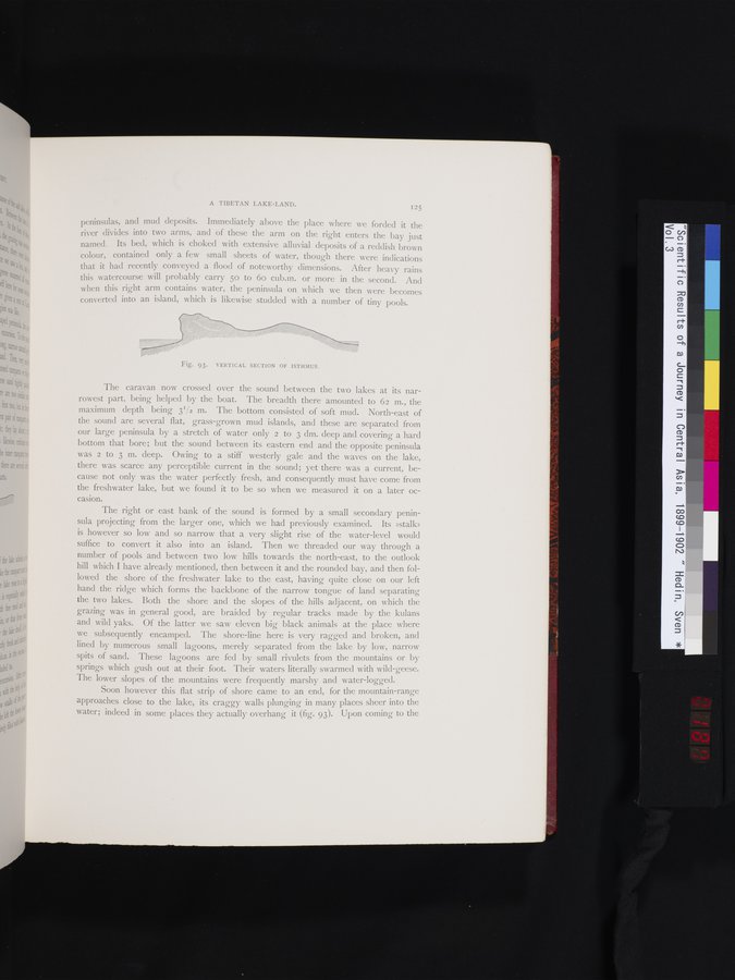
Soon however this flat strip of shore came to an end, for the mountain-range approaches close to the lake, its craggy walls plunging in many places sheer into the water; indeed in some places they actually overhang it (fig. 93). Upon coming to the
Fig. 93. VERTICAL SECTION OF ISTHMUS.
|
Copyright (C) 2003-2019 National Institute of Informatics and The Toyo Bunko. All Rights Reserved.