National Institute of Informatics - Digital Silk Road Project
| |||||||||
|
| Scientific Results of a Journey in Central Asia, 1899-1902 : vol.3 |
 |
1
ALONG THE SOUTHERN FOOT OF THE ARKA-TAGH.
573
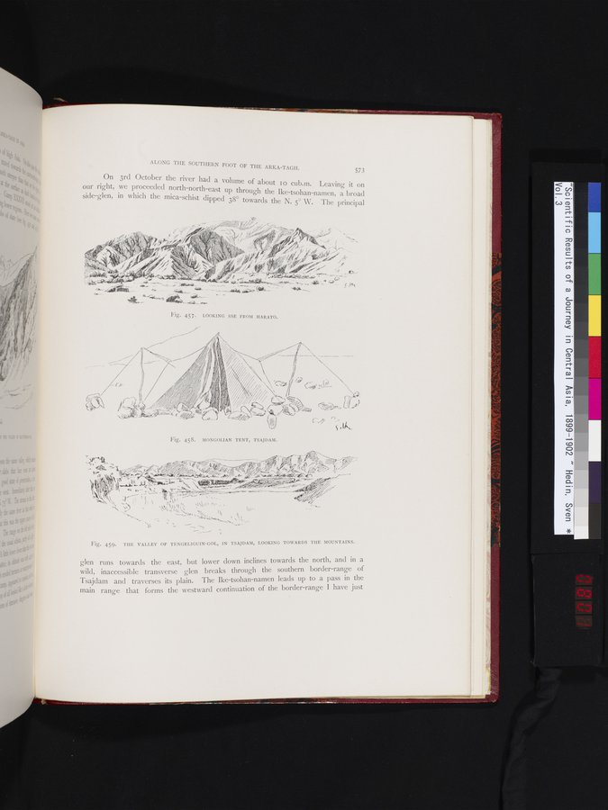
On 3rd October the river had a volume of about io cub.m. Leaving it on our right, we proceeded north-north-east up through the Ike-tsohan-namen, a broad
side glen, in which the mica-schist dipped 38° towards the N. S° W. Therinci al
P P
FIg. 459. THE VALLEY OF TENGELIGUIN-GOL, IN TSAJDAM, LOOKING TOWARDS THE MOUNTAINS.
glen runs towards the east, but lower down inclines towards the north, and in a wild, inaccessible transverse glen breaks through the southern border-range of Tsajdam and traverses its plain. The Ike-tsohan-namen leads up to a pass in the main range that forms the westward continuation of the border-range I have just
Fig. 457. LOOKING SSE FROM HARATO.
Fig. 458. MONGOLIAN TENT, TSAJDAM.
47-41q,~
4,
_ . . T-
;
,
N.c.
' l / •'NI~ J 4~ _r
404°--
+•- \ i
ii
I1{,Îiif~~ ‘,1\\~~i.~ ~• ,
;~<<u, ~, (~~~
i~,
~
, ,
|
Copyright (C) 2003-2019 National Institute of Informatics and The Toyo Bunko. All Rights Reserved.