National Institute of Informatics - Digital Silk Road Project
| |||||||||
|
| Scientific Results of a Journey in Central Asia, 1899-1902 : vol.3 |
 |
240
EXCURSION TO AJAGH-KUM-KÖL.
little farther on there is a second like it. It is the great range on the right-hand side of the glen that bears the name of Schia-manglaj. A small offshoot juts out from the left-hand range down to the bed of the stream and is crossed by a small bel or »saddle». Below this we observed certain terrace-like steps or marks of higher
flood-lines.
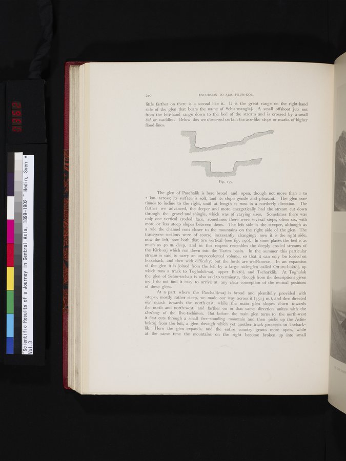
The glen of Paschalik is here broad and open, though not more than I to 2 km. across; its surface is soft, and its slope gentle and pleasant. The glen continues to incline to the right, until at length it runs in a northerly direction. The farther we advanced, the deeper and more energetically had the stream cut down through the gravel-and-shingle, which was of varying sizes. Sometimes there was only one vertical eroded face; sometimes there were several steps, often six, with more or less steep slopes between them. The left side is the steeper, although as a rule the channel runs closer to the mountains on the right side of the glen. The transverse sections were of course incessantly changing: now it is the right side, now the left, now both that are vertical (see fig. 190). In some places the bed is as much as 40 m. deep, and in this respect resembles the deeply eroded streams of the Kirk-saj which run down into the Tarim basin. In the summer this particular stream is said to carry an unprecedented volume, so that it can only be forded on horseback, and then with difficulty; but the fords are well-known. In an expansion of the glen it is joined from the left by a large side-glen called Otturu-buktöj, up which runs a track to Tughuluk-saj, upper Buktöj, and Tscharklik. At Tughuluk the glen of Schor-tschap is also said to terminate, though from the descriptions given me I do not find it easy to arrive at any clear conception of the mutual positions of these glens.
At a part where the Paschalik-saj is broad and plentifully provided with »steps», mostly rather steep, we made our way across it (3513 m.), and then directed our march towards the north-east, while the main glen slopes down towards the north and north-west, and farther on in that same direction unites with the thalweg of the Ilve-tschimen. But before the main glen turns to the north-west it first cuts through a small free-standing mountain and then picks up the Astinbuktöj from the left, a glen through which yet another track proceeds to Tscharklik. Here the glen expands, and the entire country grows more open, while at the same time the mountains on the right become broken up into small
Fig. 19o.
|
Copyright (C) 2003-2019 National Institute of Informatics and The Toyo Bunko. All Rights Reserved.