National Institute of Informatics - Digital Silk Road Project
| |||||||||
|
| Scientific Results of a Journey in Central Asia, 1899-1902 : vol.3 |
 |
22
MY FIRST JOURNEY IN NORTH-EASTERN TIBET.
gravel-and-shingle that fills the bottom the water has carved a deep and strongly accentuated bed, with steep and even vertical sides. The track runs sometimes on the one side, sometimes on the other, and sometimes in the bed of the stream. The latter is joined from both sides by similar deep drainage gullies, all at that time dry. The erosive energy has thus been developed here more strongly than in the northern glens of the Astin-tagh. But after our glen turns to the east-south-east the country becomes more open, the watercourse grows shallower and smaller, and we soon reached the summit of the range, namely a flat, very easy and comfortable pass without a name, but reaching an altitude of 3,588 m. On the top is a small cairn of stones crowning a hill. From that point there is a very extensive view towards the east, through a broad open latitudinal valley. A few kilometers away in the same valley there is another similar flat pass. All the rainwater channels between the two passes gather to a head and pour through the transverse glen that we subsequently followed; and similarly the water gathers off the mountains beyond the eastern pass into a second similar transverse glen, which likewise runs down to the great latitudinal valley on the southern side of the main range of the Astin-tagh.
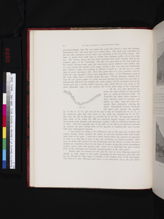
All the way from Basch-jol upwards the same varieties of rock prevail that we found at Basch-jol itself. At Tasch-köl the black schists embrace a large intrusive mass of quartzite, and
higher up white veins and dykes fre
quently show themselves cleaving the
Fig. q. schist. Immediately beyond Tasch-köl
this latter rock assumes the position 69° to the S. 1o° E.; just west of the pass it dips 76° towards the S. 20° E.; in the transverse glen that runs down to the south 64° towards the N. 500 W.; and near the exit of that glen 35° towards the S. 6o° W. In consequence of the steep pitch of the strata the cliffs are extremely jagged, rugged, and pinnacled, and present many fantastic and picturesque outlines, such as crenelated bastions and so forth. This was especially true of the cliffs on our left as we marched eastwards up towards the pass, though those on the opposite or southern side were covered with loose disintegrated material.
I was amazed at seeing, a few kilometers east of the pass, two or three wild camels moving slowly towards the north; we had first detected their fresh tracks quite close to our pass. I had never before known these shy creatures to approach so close to a road that is used, at any rate sometimes, by human travellers. They were no doubt wild camels from the Kuruk-tagh and the Desert of Gobi, for these animals are sometimes driven by the heat of summer up into the cooler mountainous regions, where water and grazing exist. Later on we shall find that these eastern parts of the Astin-tagh are favourite grazing-grounds of the wild camel.
Shortly after we crossed over the pass the road we were following turned off sharply at right angles to the south, descending by the transverse glen that cuts its way through the little range of foothills at the southern base of the main range. This transverse glen, although quite short, is not particularly steep; the pass there-
|
Copyright (C) 2003-2019 National Institute of Informatics and The Toyo Bunko. All Rights Reserved.