National Institute of Informatics - Digital Silk Road Project
| |||||||||
|
| Scientific Results of a Journey in Central Asia, 1899-1902 : vol.3 |
 |
ALONG THE SOUTHERN FOOT OF TIIE ARKA-TAGIL.
563
may be blowing from the east. But even as early as the second half of September the uppermost layer of the earth froze every night to the depth of one or two centimeters, though it quickly thawed again next day. And owing to the strong insolation this would continue to be the case for a month to come, and only then would the ground be definitively frozen so hard as to defy the power of insolation to thaw it. At Camp XXIX, while the temperature of the air was 3.6°, that of the ground at a depth of 2 i cm. was 2.9°, and at a depth of 88 cm. 0.4°.
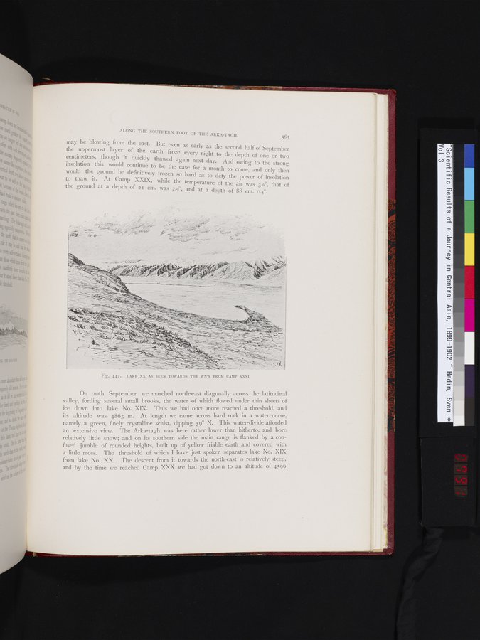
Fig. 442. LAKE XX AS SEEN TOWARDS THE WNW FROM CAMP XXXI.
On loth September we marched north-east diagonally across the latitudinal valley, fording several small brooks, the water of which flowed under thin sheets of ice down into lake No. XIX. Thus we had once more reached a threshold, and its altitude was 4863 m. At length we came across hard rock in a watercourse, namely a green, finely crystalline schist, dipping 59° N. This water-divide afforded an extensive view. The Arka-tagh was here rather lower than hitherto, and bore relatively little snow and on its southern side the main range is flanked by a confused jumble of rounded heights, built up of yellow friable earth and covered with a little moss. The threshold of which I have just spoken separates lake No. XIX from lake No. XX. The descent from it towards the north-east is relatively steep, and by the time we reached Camp XXX we had got down to an altitude of 4596
~---~, ~- - -
=-
|
Copyright (C) 2003-2019 National Institute of Informatics and The Toyo Bunko. All Rights Reserved.