National Institute of Informatics - Digital Silk Road Project
| |||||||||
|
| Scientific Results of a Journey in Central Asia, 1899-1902 : vol.3 |
 |
428 A NEW JOURNEY SOUTHWARDS.
east to west-north-west. Where it goes to eventually I cannot say; although I should have been strongly inclined to believe that it pierces by a transverse glen through the range we had last crossed over, had we not found the latitudinal valley to the north of it almost destitute of water. Perhaps it is the upper part of some stream that empties into the Atschik-köl, only that this supposition seems to be less probable than the other. So far as we were able to see, the river continued to follow the latitudinal valley that lies immediately north of the main range of the Arka-tagh towards the west-north-west; and from it we obtained an extensive view of the range on the north side of it. It now appeared that the pass by which we had just crossed over that range belongs to a relatively low gap in its summit, for both east and west the range swells up to a considerably greater height. In these high altitudes one is easily deceived as to both horizontal and vertical dimensions. When viewed from Camp XVIII, the Arka-tagh had appeared to be quite close, and yet it took us more than a long day's march to reach its foot. As now seen from the bank of this new river, the same range appeared to be especially flat and insignificant, and yet when we came to tackle it the next day, it cost us the utmost efforts to surmount it successfully. The reason the range seems to be so low is simply that the river itself lies at an immense altitude. When however the Arka-tagh is studied from any of the passes of the Kalta-alaghan, it appears to tower up like a stupendous snow-white wall, the top of which vanishes amongst the clouds ; but in that case the observer has between himself and the Arka-tagh the relatively deep and spacious basin of Kum-köl.
The route which my pioneers had chosen for us led across flat hills, threaded by some smaller brooks on their way down to the principal river. On the other side of these hills we struck into a broad, shallow glen coming south-west from the Arka-
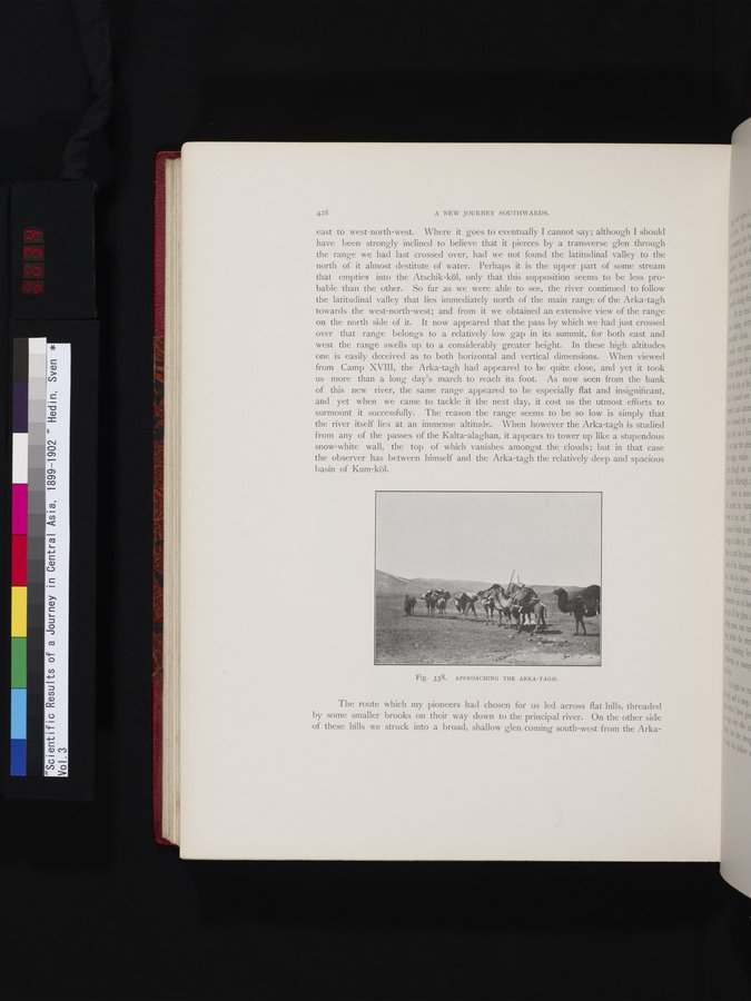
Fig. 338. APPROACHING THE ARKA-TAGH.
|
Copyright (C) 2003-2019 National Institute of Informatics and The Toyo Bunko. All Rights Reserved.