National Institute of Informatics - Digital Silk Road Project
| |||||||||
|
| Scientific Results of a Journey in Central Asia, 1899-1902 : vol.3 |
 |
ALONG THE SOUTHERN FOOT OF THE ARKA-TAGH.
575
the quantity here being far greater than on the west side. Strictly speaking the real boundary between the self-contained drainage-area of the plateau of Tibet and the peripheral region that sends its waters down to the great basins of Central Asia is of course the pass in the Arka-tagh which we crossed over north-east of lake No. XX. Consequently the glen of Ike-tsohan-namen belongs to the latter drainage-region; but the characteristic peripheral features do not appear sharply defined until you reach the glen known as Koko-bure, which runs down eastwards from Ike-tsohan-davan. At the point where the glen turns to the north-north-east, the altitude was 4488 m. It has a little brook flowing at the bottom of a deep-cut bed. The mountain-sides which hem it in are for the most part strewn with fine disintegration material. In summer the amount of water that comes down this way is so great that travellers have to ride along a path higher up on the left side of the glen. Here again granite occurred. Our next camp stood at an altitude of
only 3898 m.
On 5th October we continued our way down the glen of Koko-bure, which describes a curve, in that it proceeds first north-east, then north, and finally northwest. Sometimes we rode in the bed of the stream itself, sometimes on the terrace
1
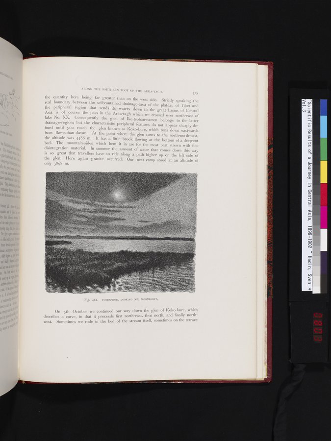
Fig. 462. TOSUN-NOR, LOOKING NE; MOONLIGHT.
|
Copyright (C) 2003-2019 National Institute of Informatics and The Toyo Bunko. All Rights Reserved.